Home / Data stories / Prehistory and monuments
Prehistory and monuments
Life on the Moving Map
540 million years of drifting continents, from Pangaea onwards, with fossil animals from trilobites to dinosaurs where they lived.
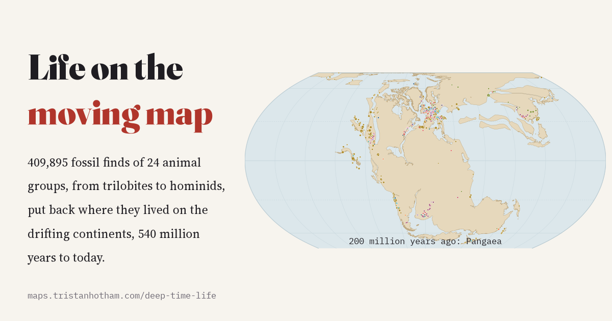
This is an interactive data study by Dr Tristan Hotham, built from open data. The map runs in your browser: explore it, search for places and switch layers. The write-up explains the method and what the data shows, and the data and code are open for anyone to reuse.
More in Prehistory and monuments
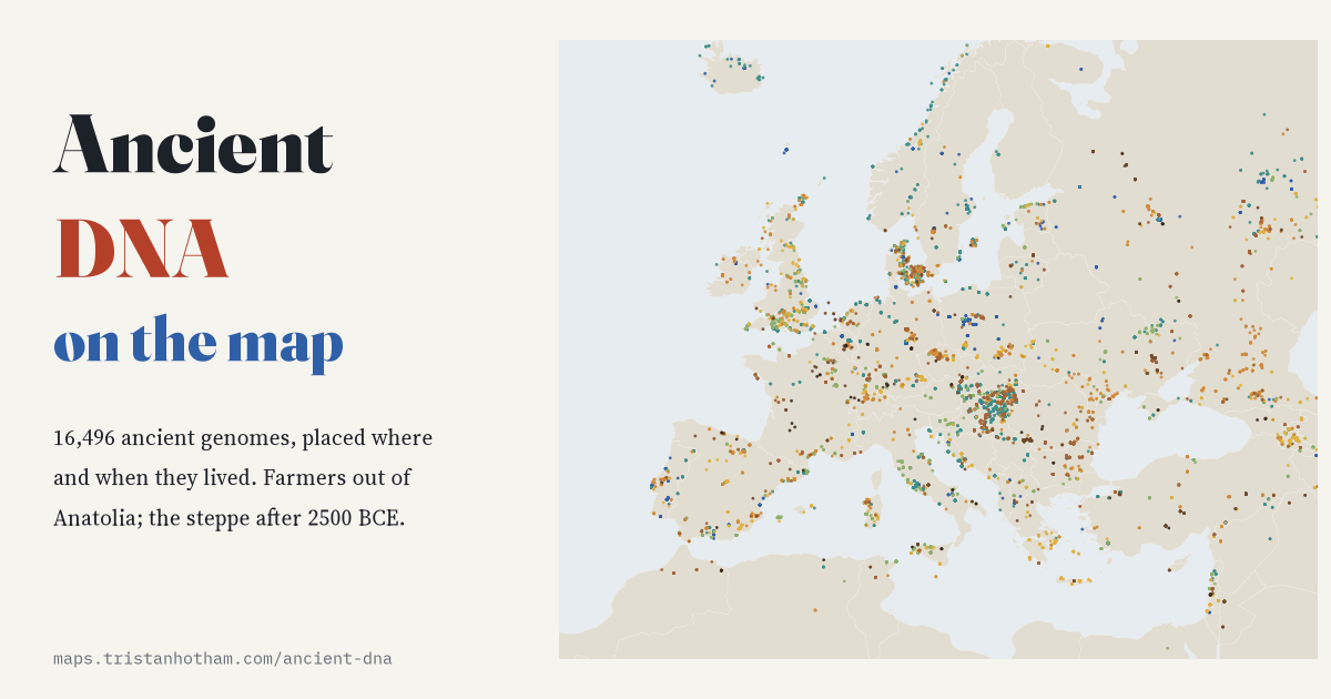 Ancient DNA on the Map16,496 ancient genomes placed where and when they lived: the first farmers spread out of Anatolia at about a kilometre a year.
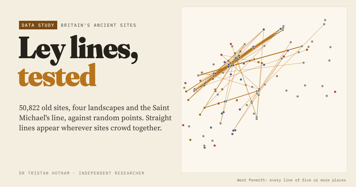 Ley Lines, Tested50,822 churches, barrows, stones, hillforts and wells against random points: crowding, not planning, explains the leys.
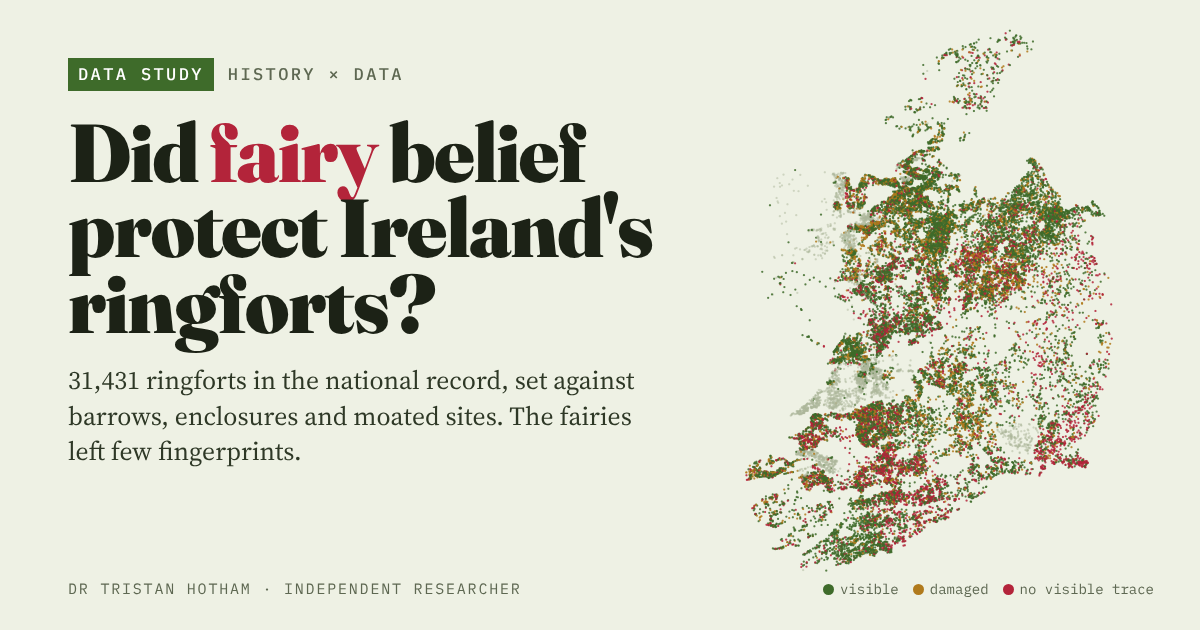 Did Fairy Belief Protect Ireland’s Ringforts?31,431 ringforts set against barrows, enclosures and moated sites: the fairies left few fingerprints.
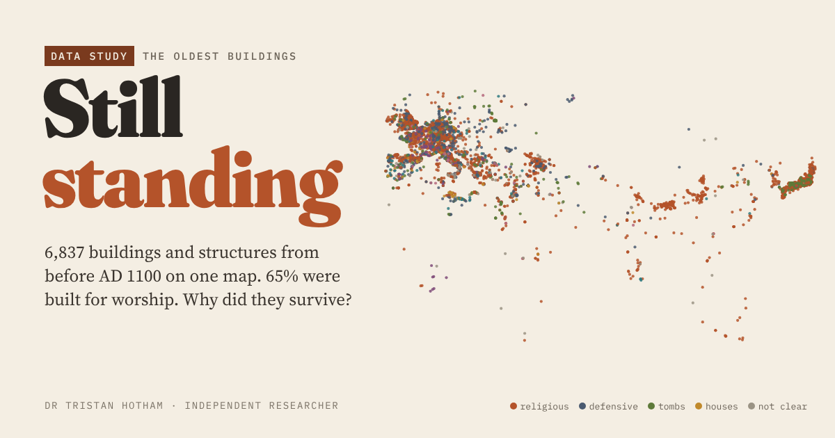 Still Standing6,837 buildings from before AD 1100 on one map, and what kept them standing.
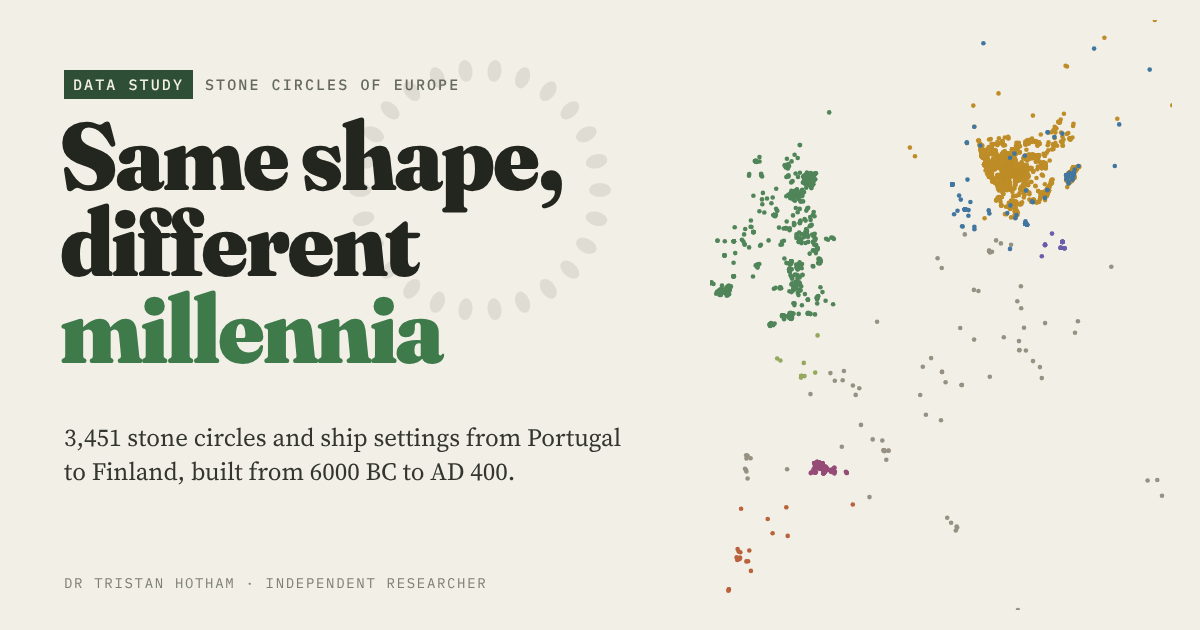 Same Shape, Different MillenniaEvery stone circle in Europe's open data, sorted into traditions and dated.
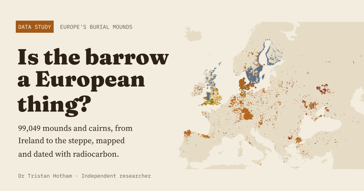 Is the Barrow a European Thing?99,049 burial mounds from Ireland to the steppe, with radiocarbon dates.