Land, sea and sky
The Footpath Capital
Every council in England and Wales by miles of public footpath per square mile: Rossendale tops it at 7.7, and the South Pennine mill towns fill the top ten.
Interactive studies of the past, the landscape and the weather, in Britain, across Europe and around the world, built from open data. Search your town, drag a slider, switch a layer. Every study has a write-up on the blog and its data and code on GitHub and Zenodo.
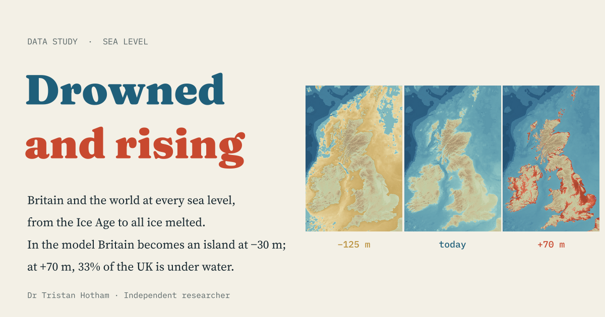 Land and seaDrowned and Rising−30 mand Britain becomes an island
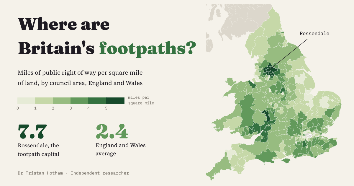 LandscapeThe Footpath Capital of Britain7.7miles of path per square mile in Rossendale
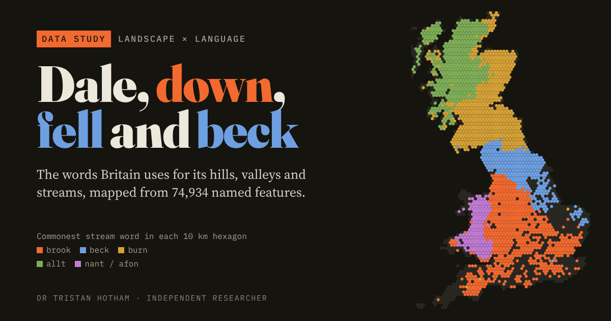 Names on the mapDale, Down, Fell and BeckBeckin the north. Brook in the south, burn in the Borders
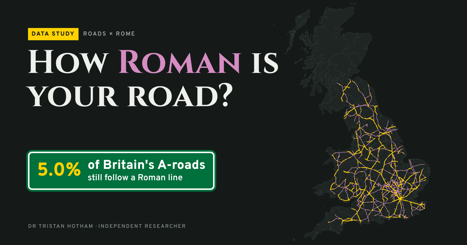 RomansHow Roman Is Your Road?5.0%of Britain's A-roads still follow a Roman line
Every council in England and Wales by miles of public footpath per square mile: Rossendale tops it at 7.7, and the South Pennine mill towns fill the top ten.
A bathtub model of every sea level from the Ice Age to an ice-free world: Britain becomes an island at −30 m, and at +70 m a third of the UK is under water.
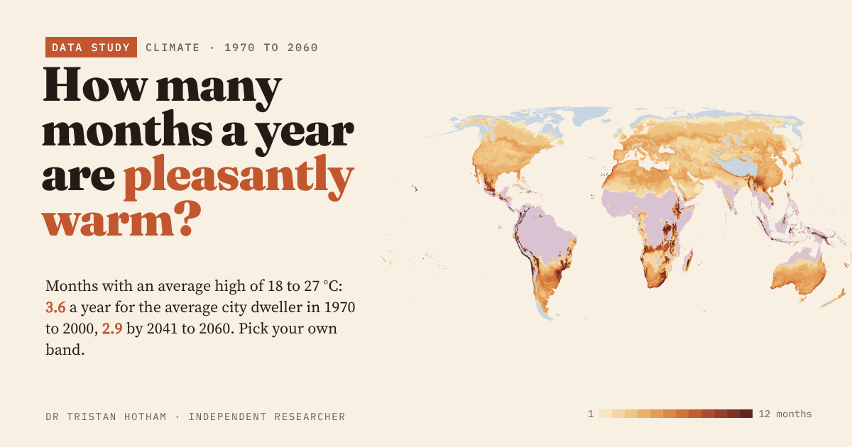
Months with afternoon highs of 18 to 27 °C: the average city dweller gets 3.6 a year now and 2.9 by 2041 to 2060. Pick your own band.
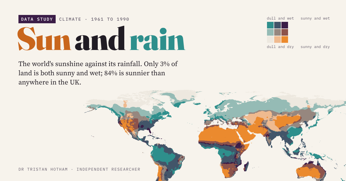
The world's sunshine against its rainfall: only 3% of land is both sunny and wet, and 84% is sunnier than anywhere in the UK.
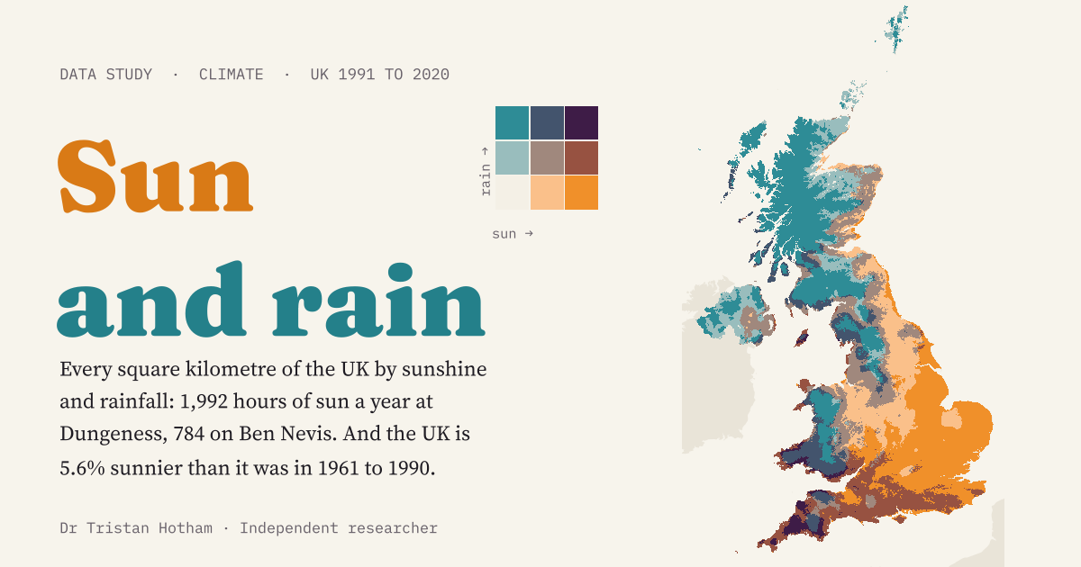
Every square kilometre of the UK by sunshine and rainfall at once. Since 1961 to 1990 the country has become 5.6% sunnier and 7.2% wetter.
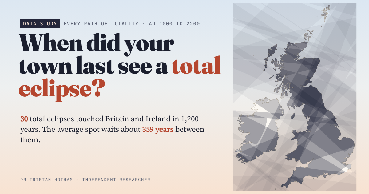
Every path of totality across Britain and Ireland from AD 1000 to 2200, tested for 17,103 places: for most towns the last was in 1715 or 1724.
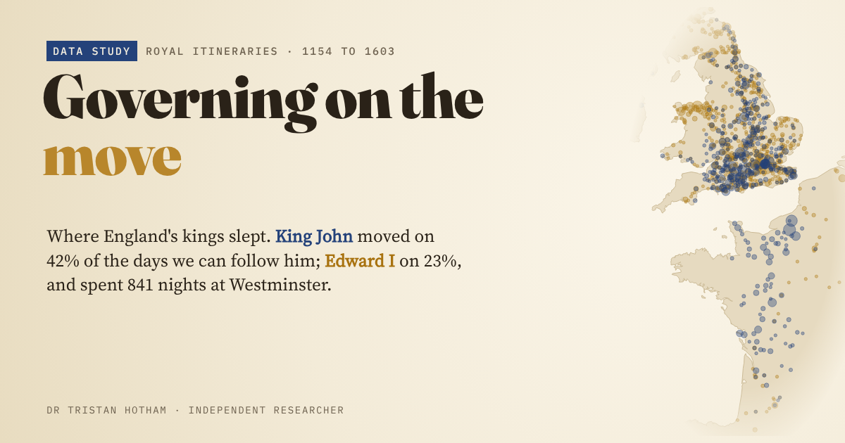
King John and Edward I mapped night by night: John moved on 42% of the days we can follow him, Edward on 23%.
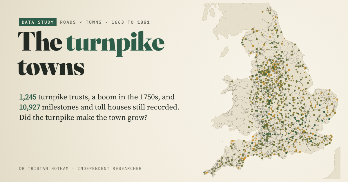
England's 1,245 turnpike trusts and 10,927 surviving milestones and toll houses: did the towns on the turnpikes grow faster? Not that the data show.
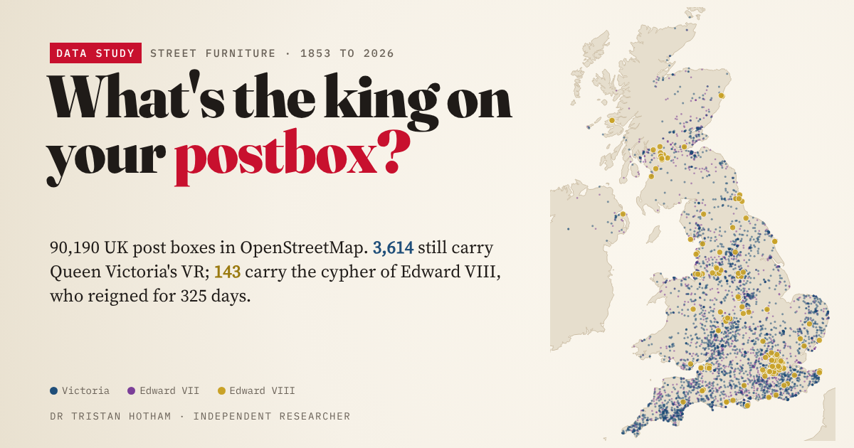
The royal cypher on 61,435 UK post boxes: 3,614 still carry Victoria's VR and 143 Edward VIII's.
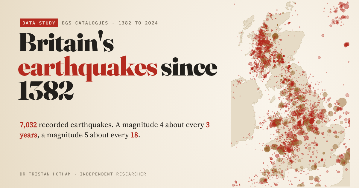
All 7,032 quakes in the BGS catalogues: a magnitude 4 about every 3 years, and the busiest modern zones were coalfields.
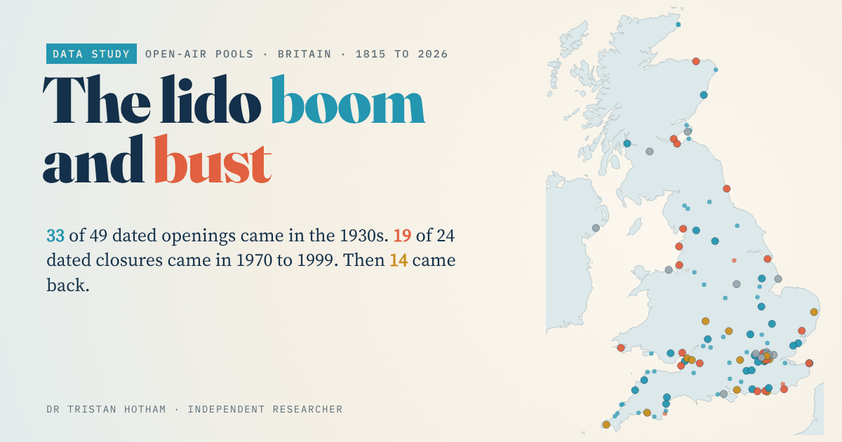
An open register of 73 British lidos: 33 of 49 dated openings came in the 1930s, and 14 closed pools have reopened.
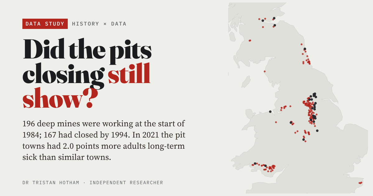
167 of 196 deep mines closed between 1984 and 1994. Forty years on, pit towns have 2.0 points more adults long-term sick than similar towns.
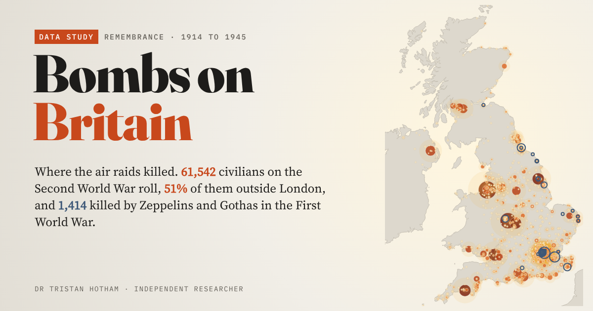
All 61,542 civilians on the CWGC's Second World War roll for the UK, town by town: 51% died outside London.
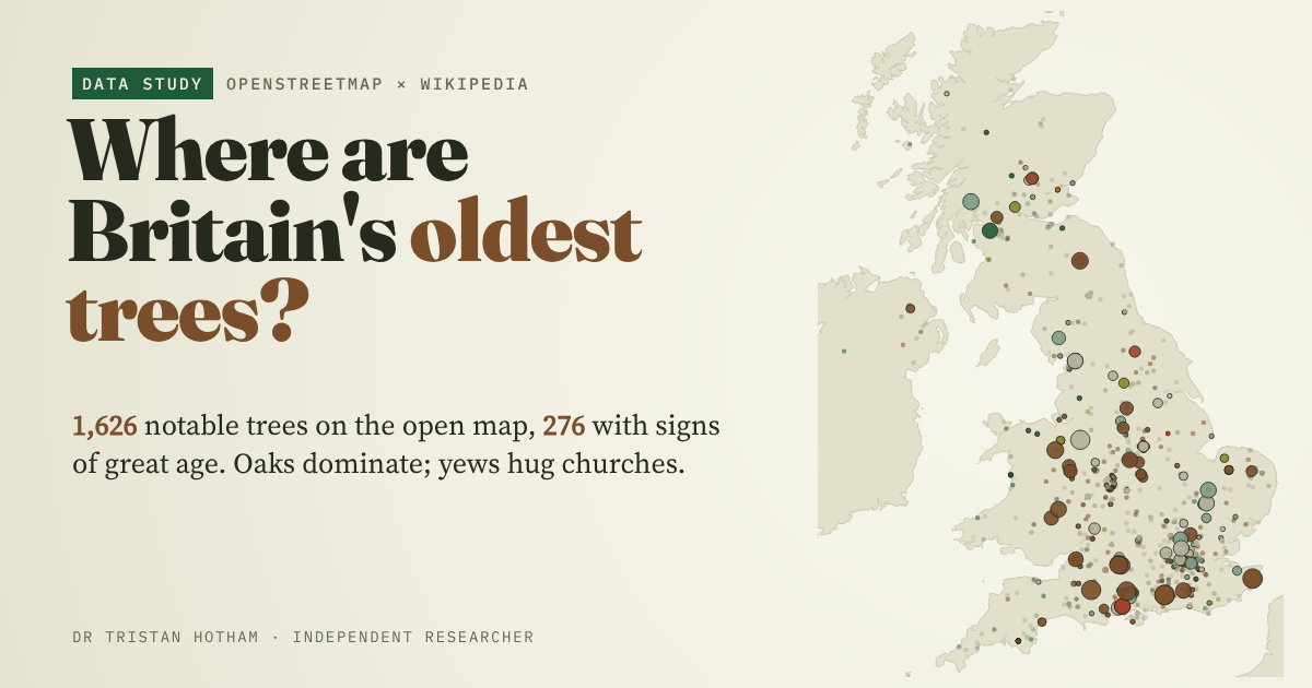
1,626 notable trees on OpenStreetMap: oaks dominate, yews hug the old churches, and giants stand in the royal forests.
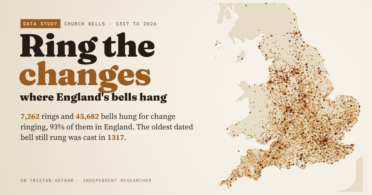
All 7,262 rings of change-ringing bells in Dove's Guide, mapped: jubilees, world wars and seven centuries of bell founding.
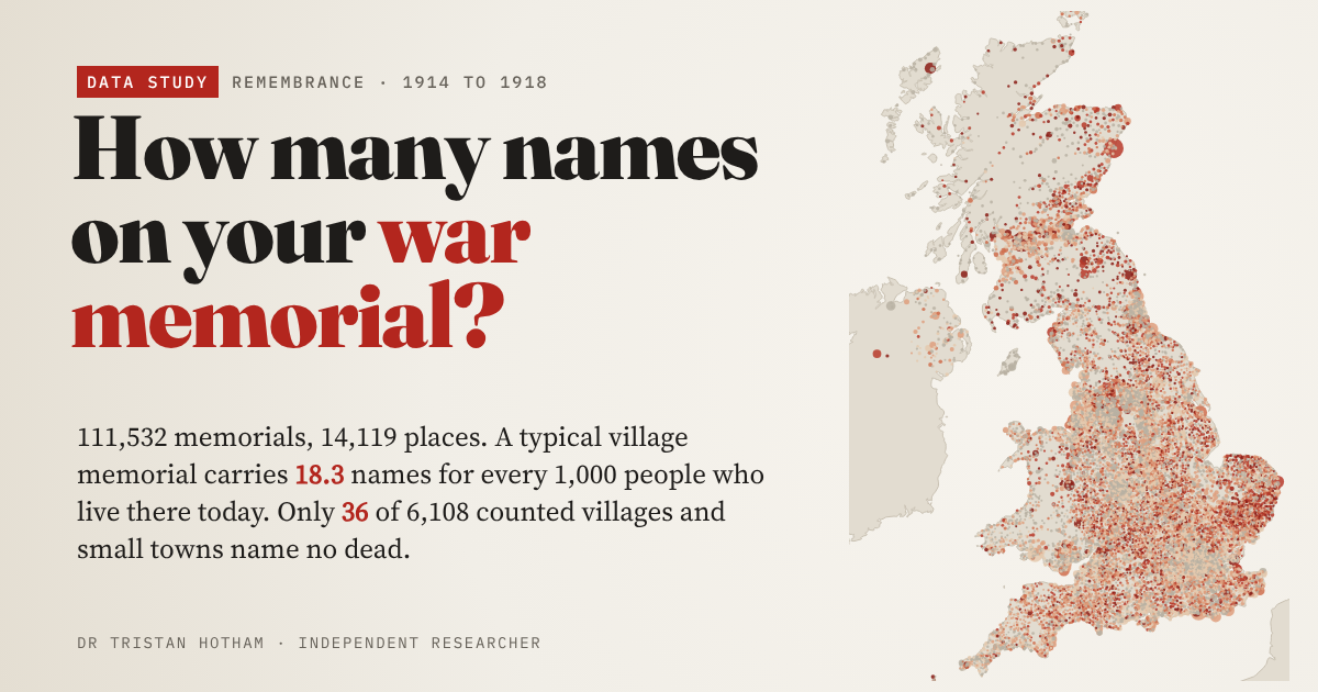
First World War names on 14,119 community memorials: 18.3 for every 1,000 people living there today, and only 36 small places record no dead.
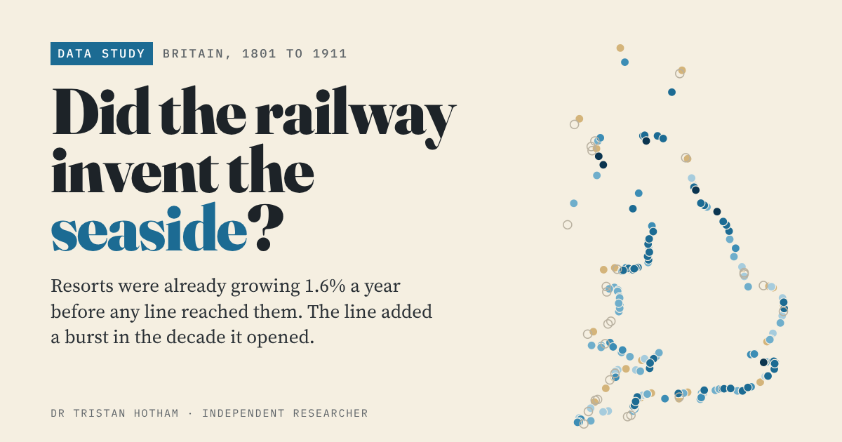
Britain's resorts were already growing 1.6% a year before the railway came. The line brought a burst in its first decade.
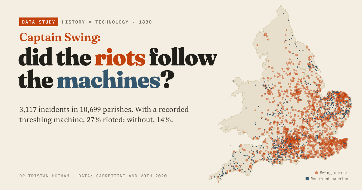
3,117 Swing riot incidents of 1830: parishes with a threshing machine were twice as likely to riot, but 90% of riotous parishes had none.
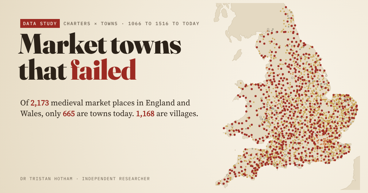
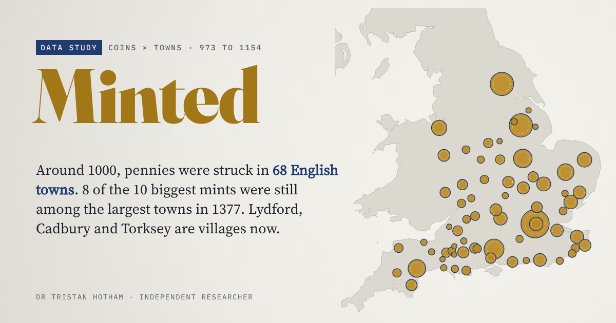
All 2,173 medieval market places in England and Wales, followed to today: 665 are towns, 1,168 villages, and a few are fields or sea.
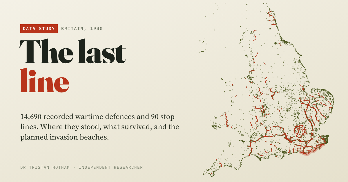
14,690 pillboxes and defences of 1940: the planned German landing beaches had 2.3 times the average density.
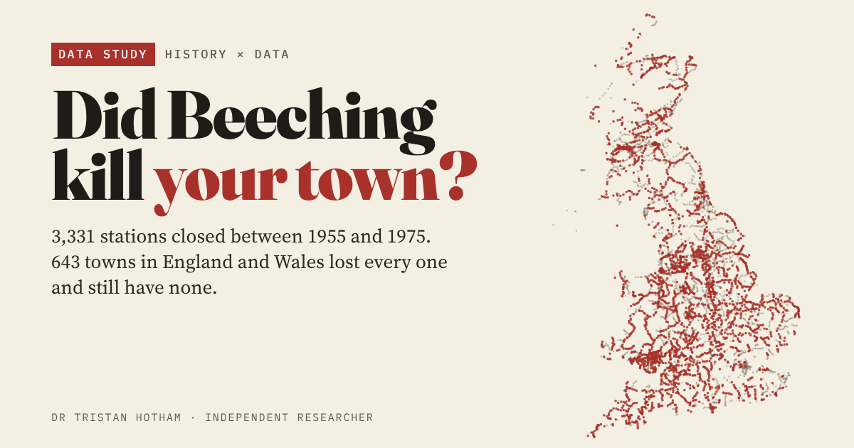
3,331 stations closed from 1955 to 1975, and 643 towns lost every one. They are a little poorer and more car-bound today, but did not fall off a cliff.
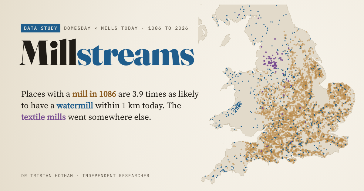
6,172 mills in Domesday Book: places that had one are 3.9 times as likely to have a watermill nearby today, but not a windmill.
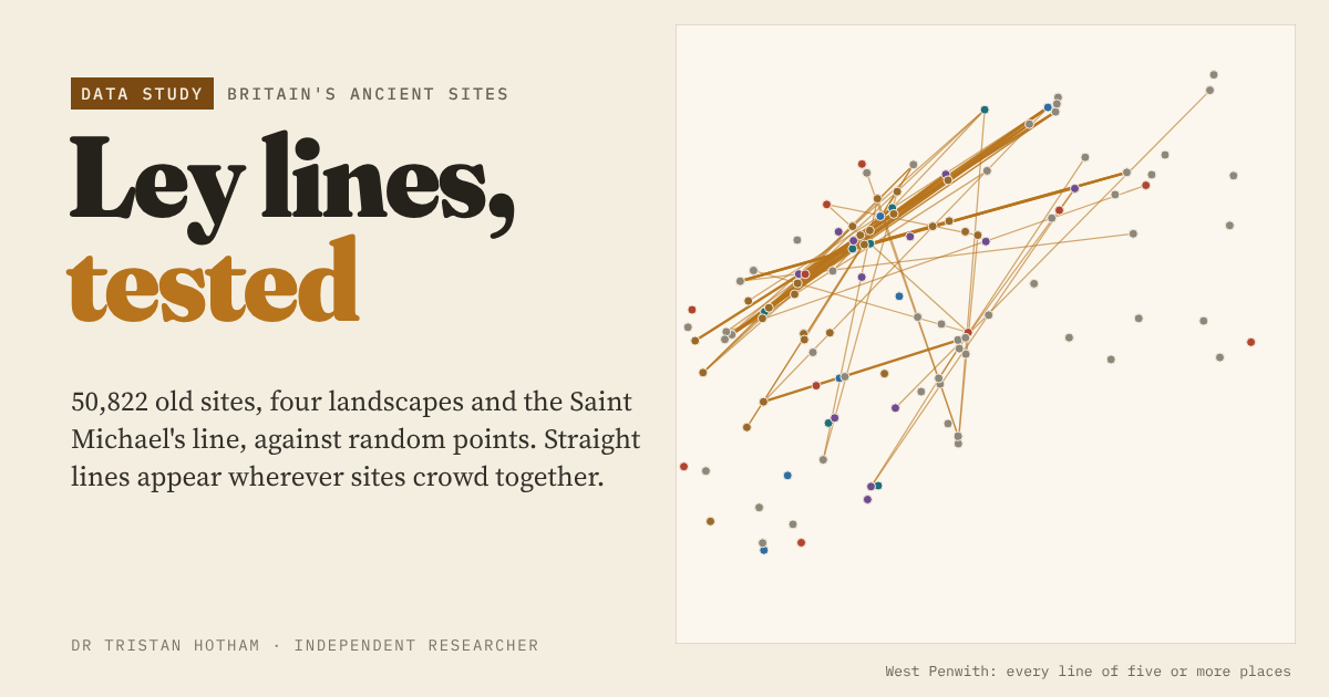
50,822 churches, barrows, stones, hillforts and wells against random points: crowding, not planning, explains the leys.
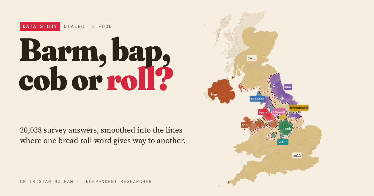
20,038 dialect survey answers mapped into Britain's bread roll lines, checked against the high street.
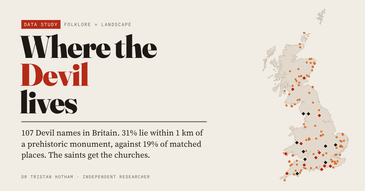
107 Devil place names in Britain: 31% lie within 1 km of a prehistoric monument, against 19% of comparable places.
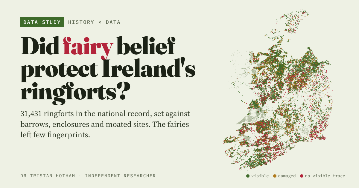
31,431 ringforts set against barrows, enclosures and moated sites: the fairies left few fingerprints.
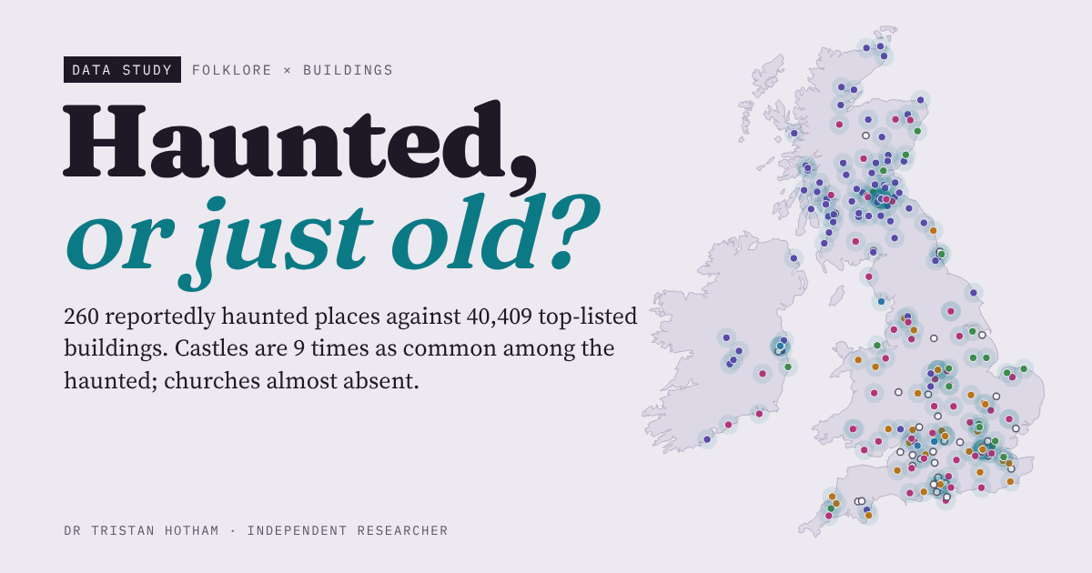
260 reportedly haunted places against 40,409 top listed buildings: castles and inns are 9 times as common among them, churches almost vanish.
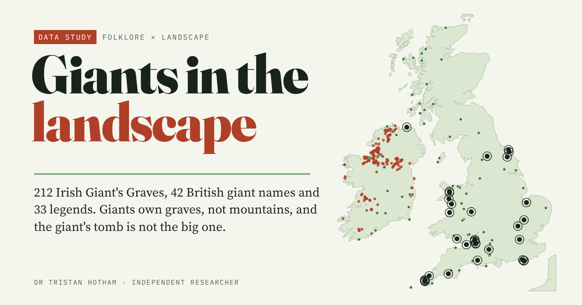
331 giant places in Britain and Ireland: giants own graves, not mountains.
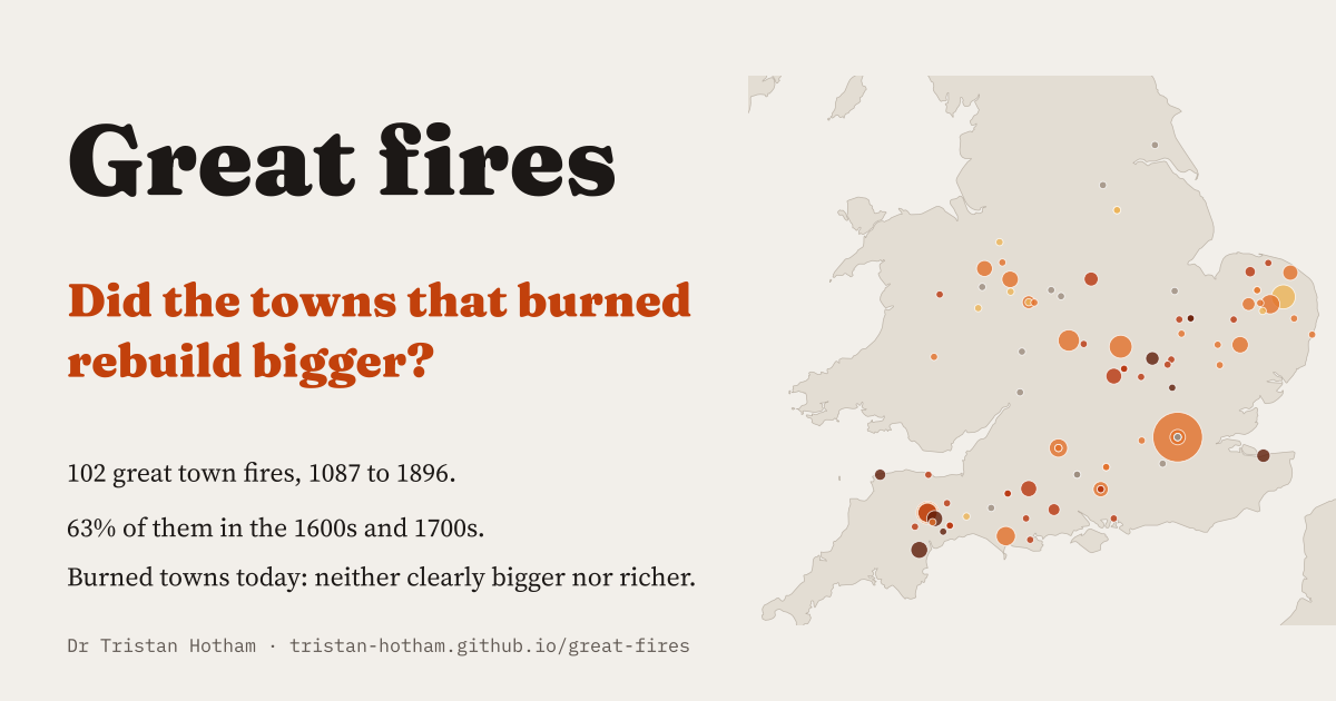
102 great town fires, 63% of them in the 1600s and 1700s: did the towns that burned rebuild bigger? Not clearly.
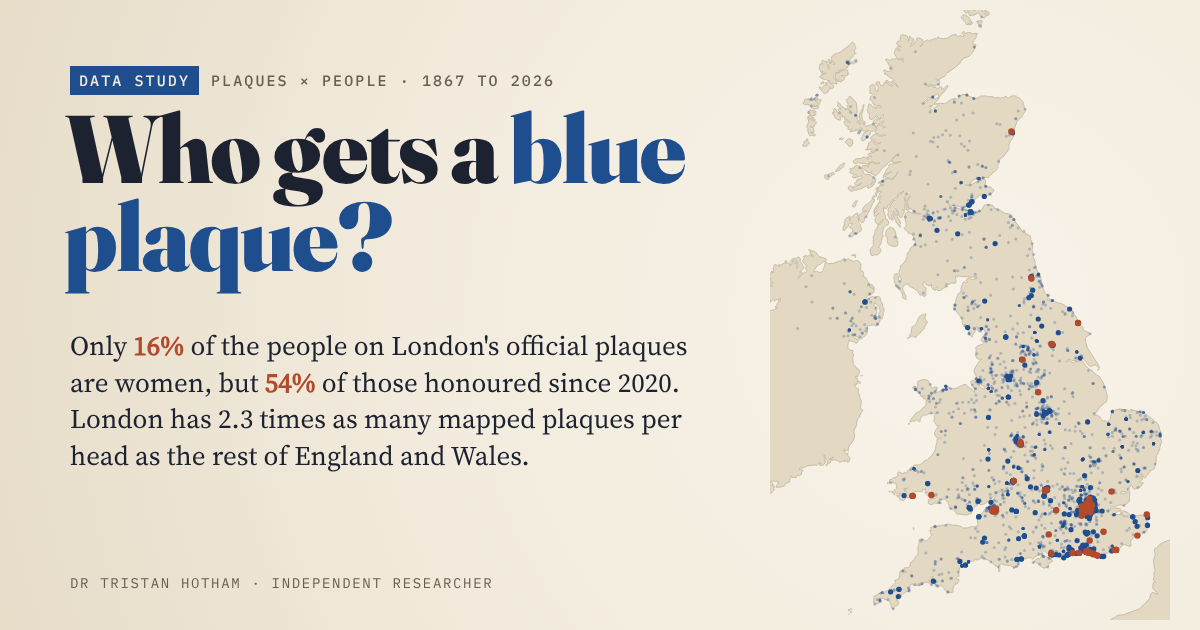
6,476 plaques across the UK and all 1,037 English Heritage plaques in London: 16% honour women, but 54% of those since 2020.
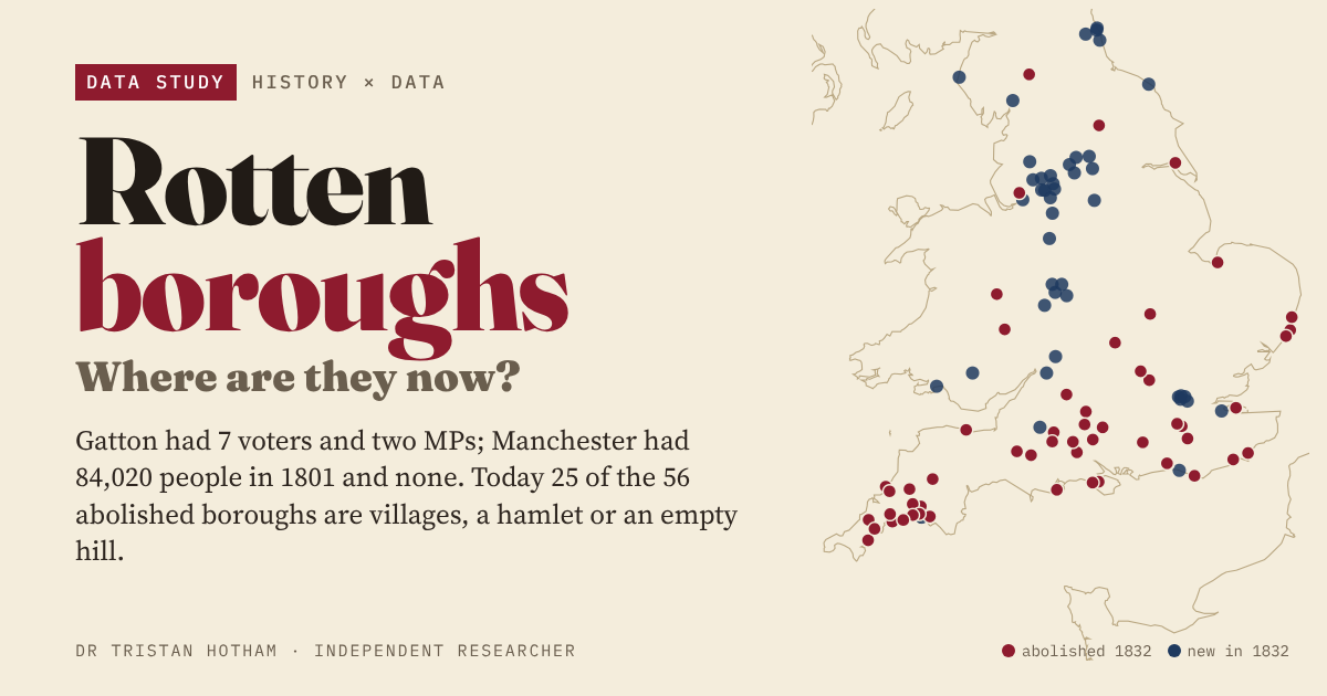
The 56 boroughs the 1832 Reform Act abolished, followed to today: 25 are villages, a hamlet or an empty hill.
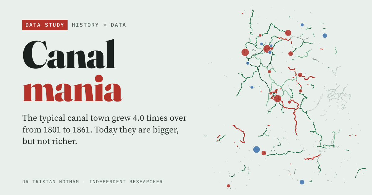
Did England's canal towns boom, and do they still lead? Bigger today, not richer.
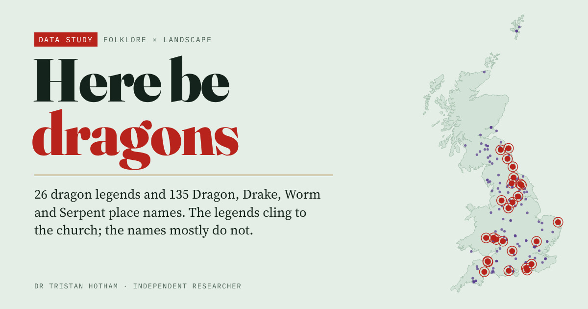
Britain's dragon legends and place names: they cling to the parish church, not the barrow or the river.
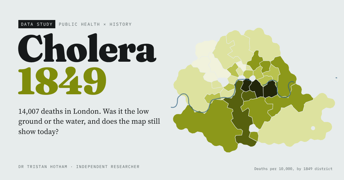
Farr's elevation law, Snow's pump and whether London's worst-hit districts are still the poorest.
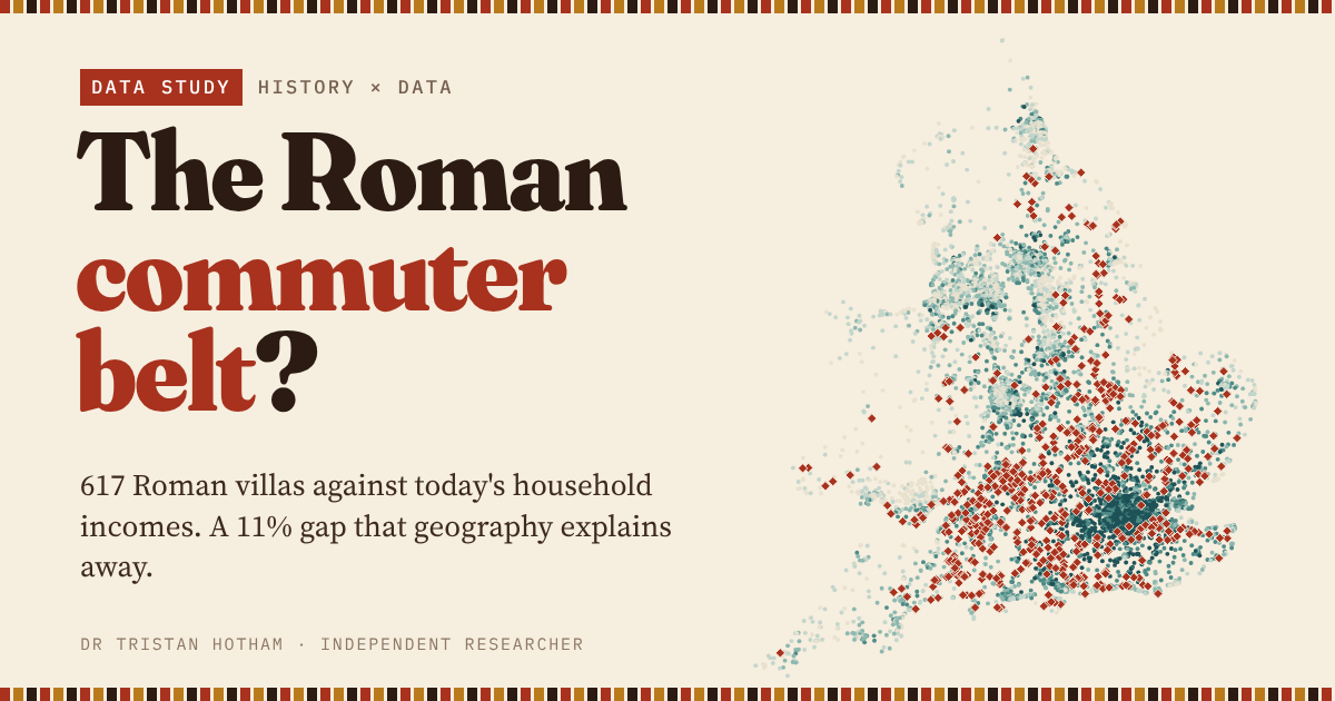
617 Roman villas against today's household income: a premium that is almost all geography.
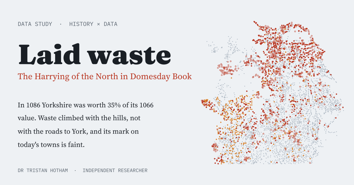
Where Domesday's 'waste' fell after 1069 to 1070, and how faint its scar is today.
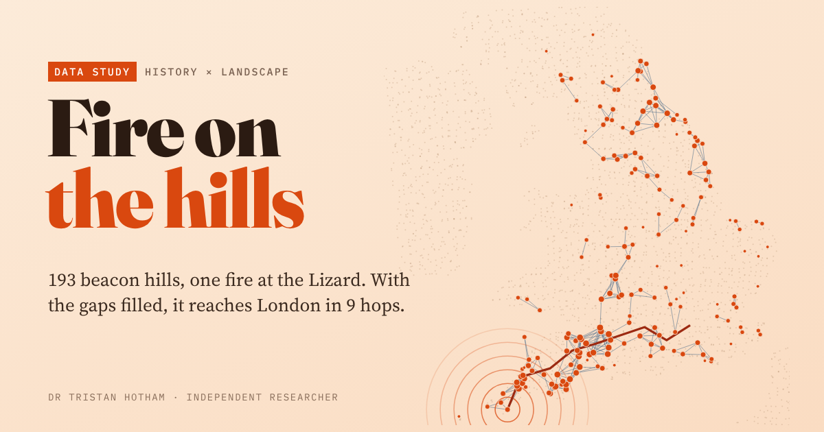
Could the Armada beacons carry the news? 193 beacon hills and the lines of sight between them.
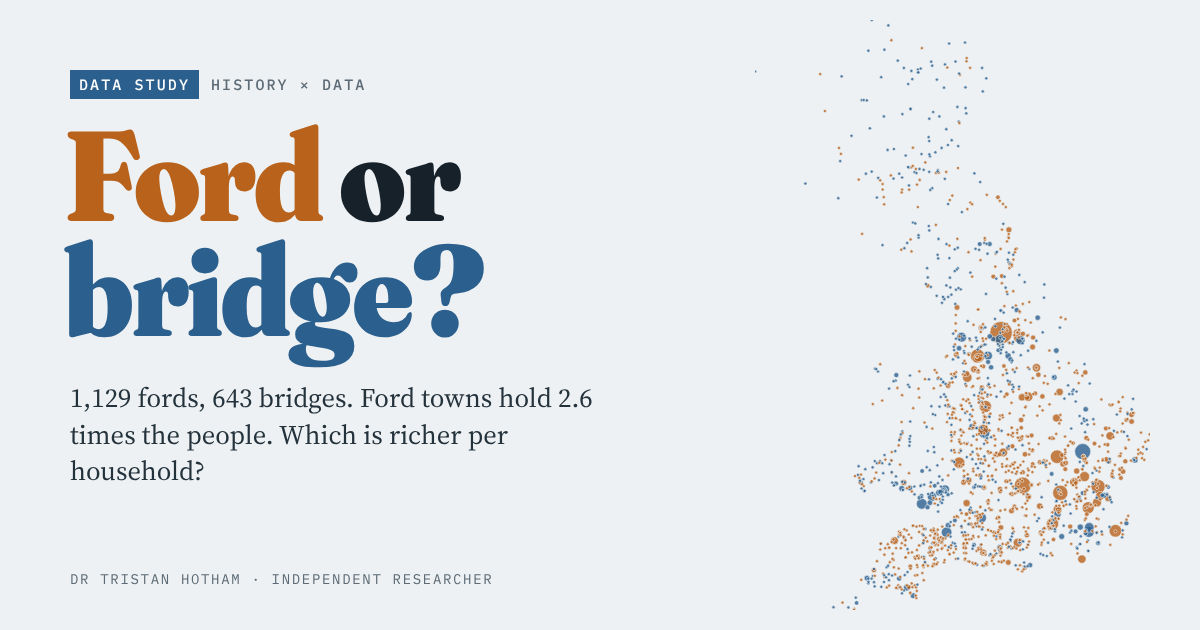
Every ford and bridge place name in Britain against the census and income: Oxford waded, Cambridge built.
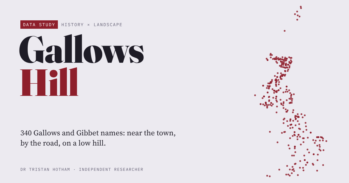
Where Britain put its gallows: 340 names measured for height, roads, towns and boundaries.
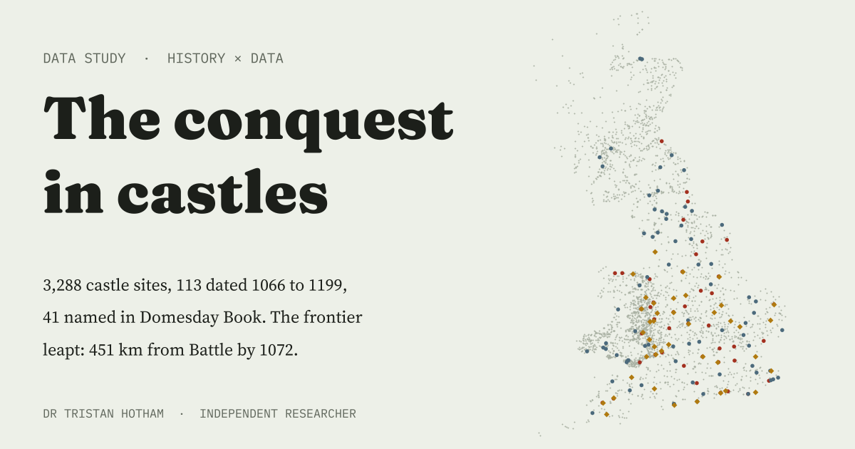
How fast Norman castles spread across Britain after Hastings, decade by decade.
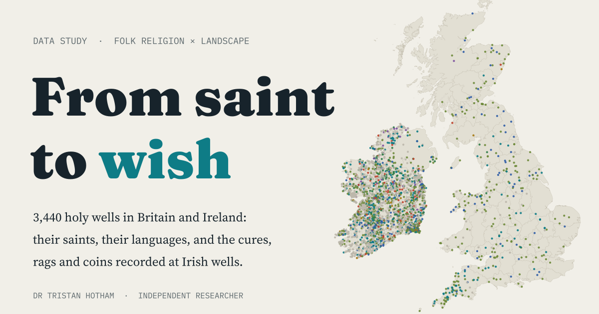
3,440 holy and wishing wells in Britain and Ireland: their saints, languages, cures and offerings.
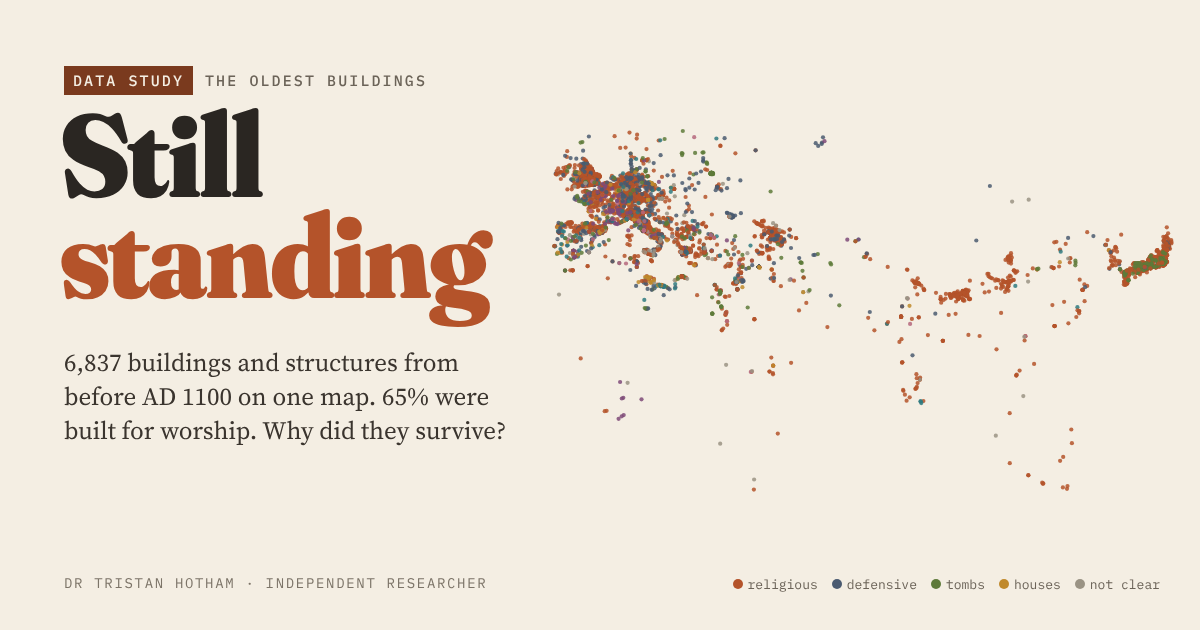
6,837 buildings from before AD 1100 on one map, and what kept them standing.
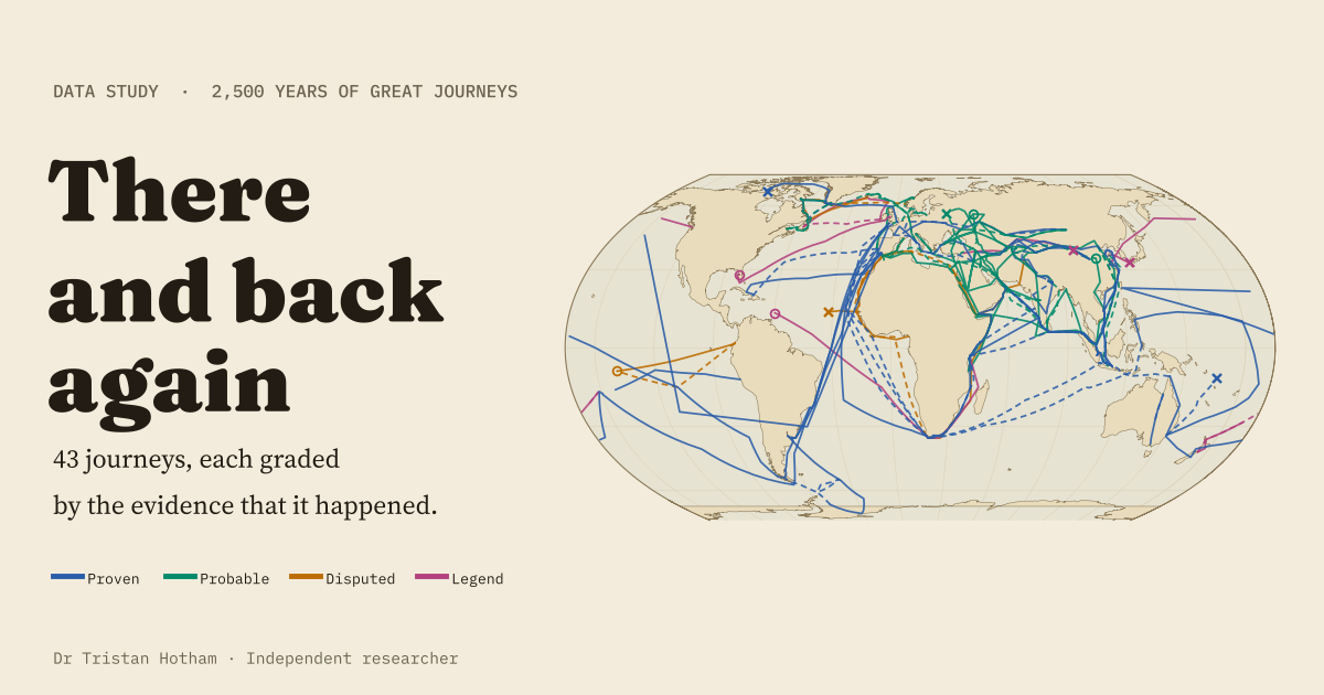
43 great journeys from 600 BC to 1947, mapped and graded by the evidence that they happened.
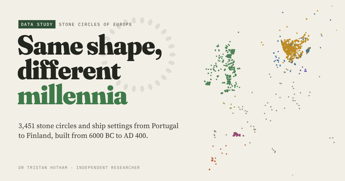
Every stone circle in Europe's open data, sorted into traditions and dated.
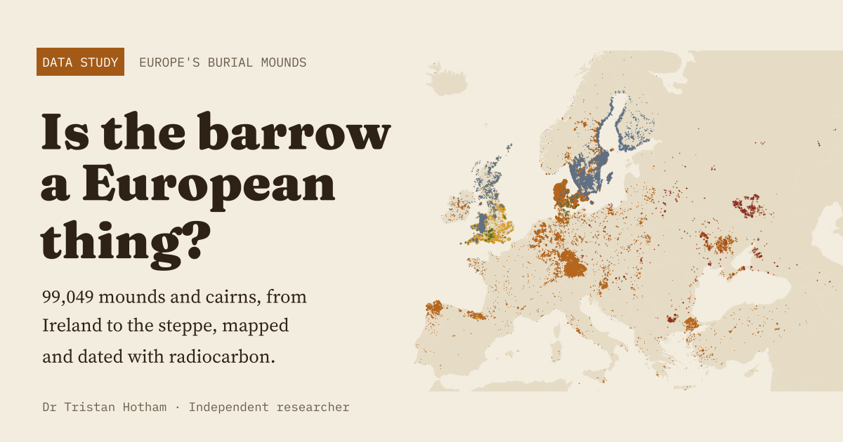
99,049 burial mounds from Ireland to the steppe, with radiocarbon dates.
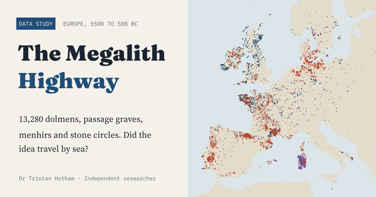
13,280 megalithic monuments: did the idea of the great stone tomb travel by sea?
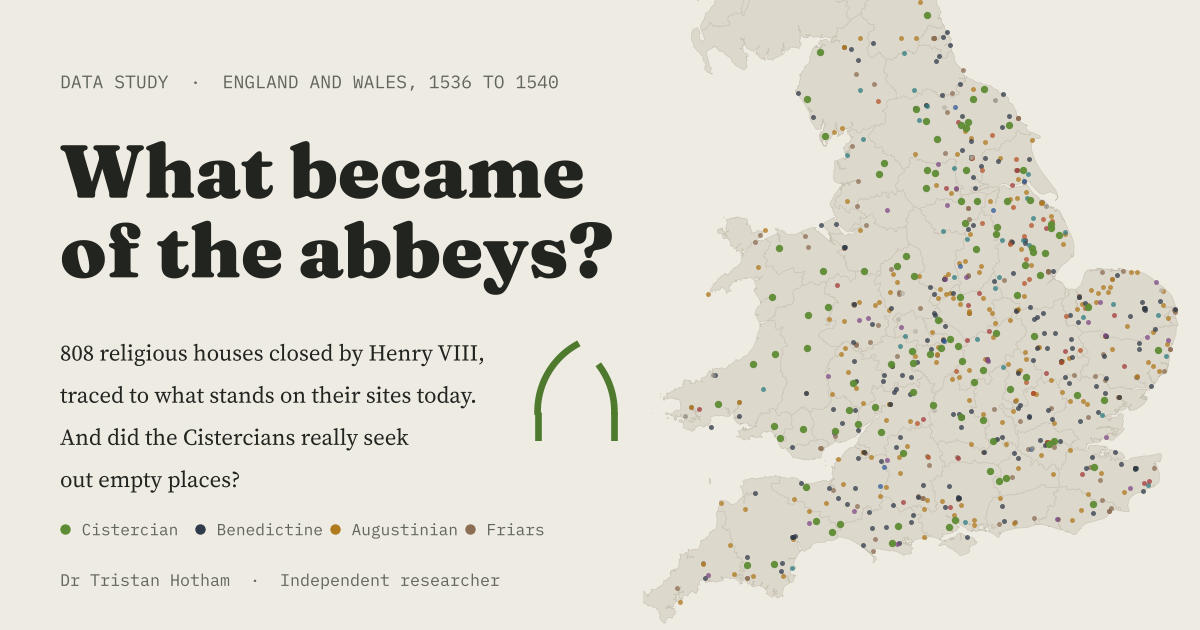
808 houses Henry VIII closed, traced to what stands on their sites today.
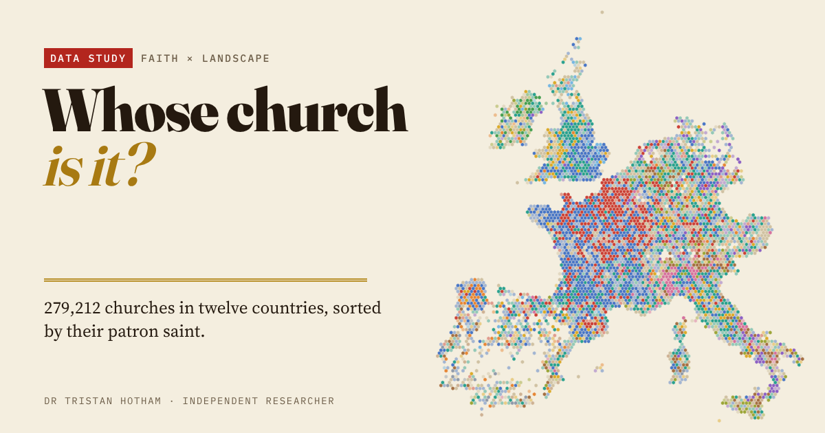
279,212 churches in twelve Western European countries, sorted by patron saint.
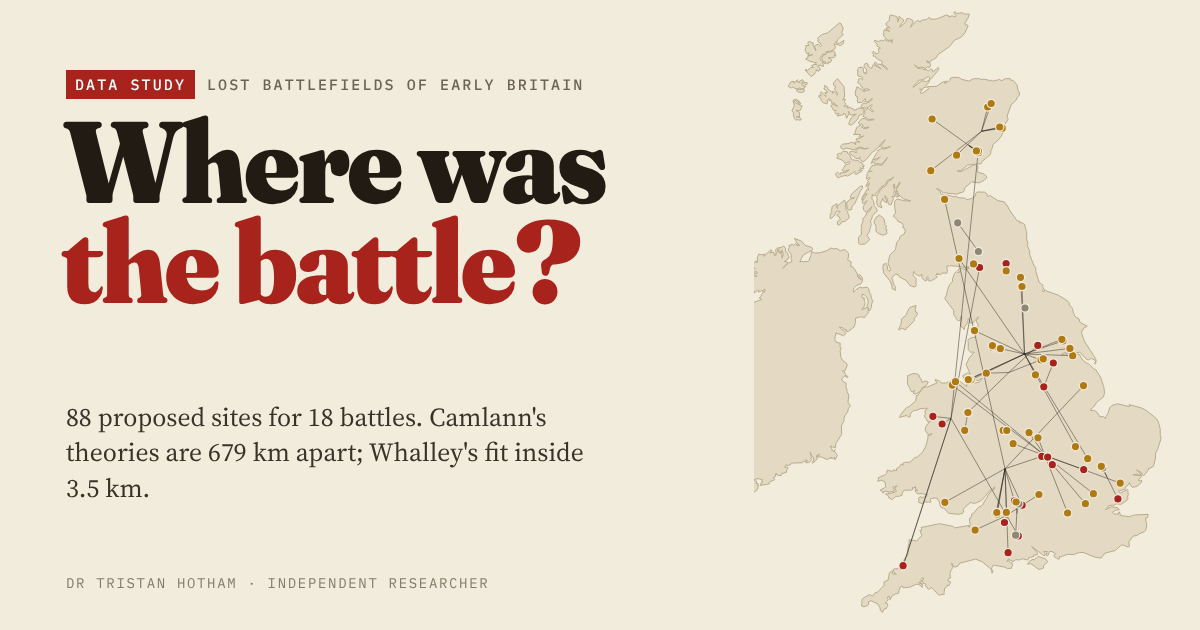
88 proposed sites for 18 lost battles of early Britain, scored against the texts.
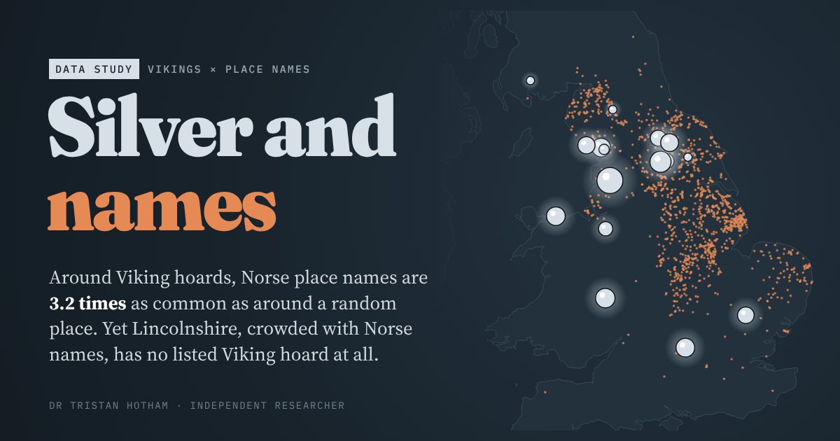
Viking hoards against Norse place names: they mostly agree, except in Lincolnshire.
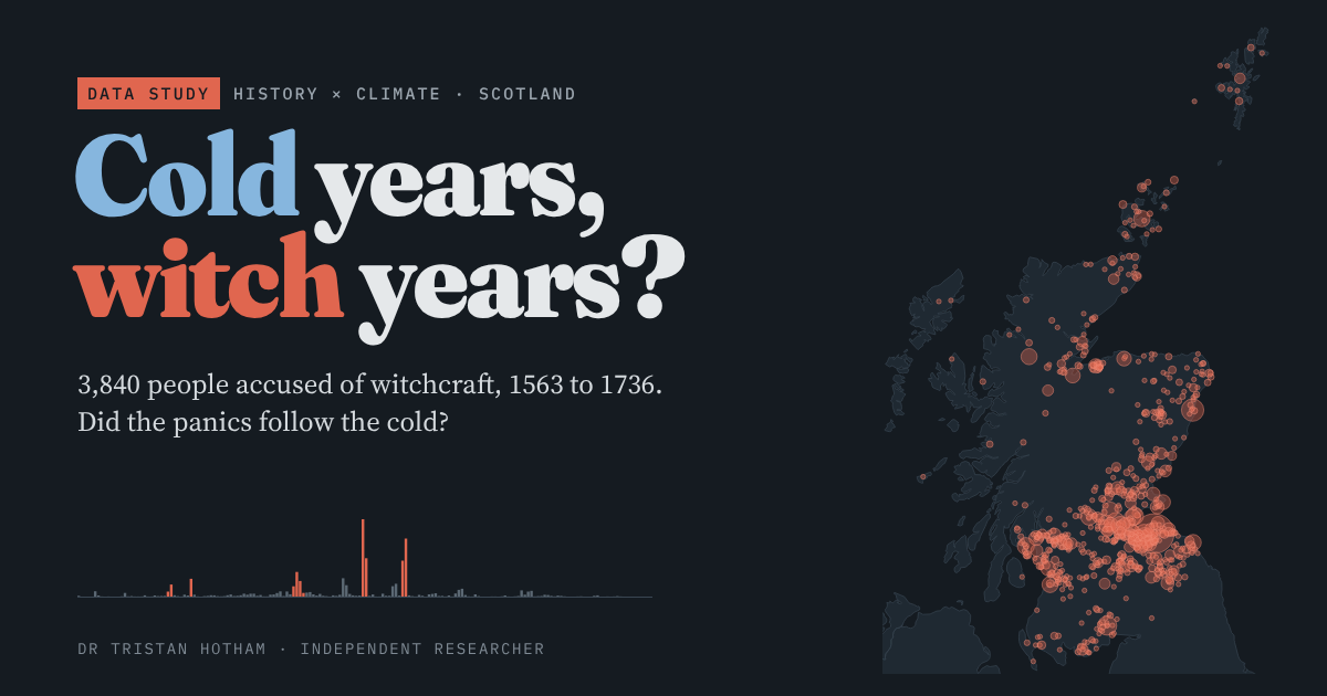
Scotland's 3,840 accused witches: did the panics follow cold years? They did not.
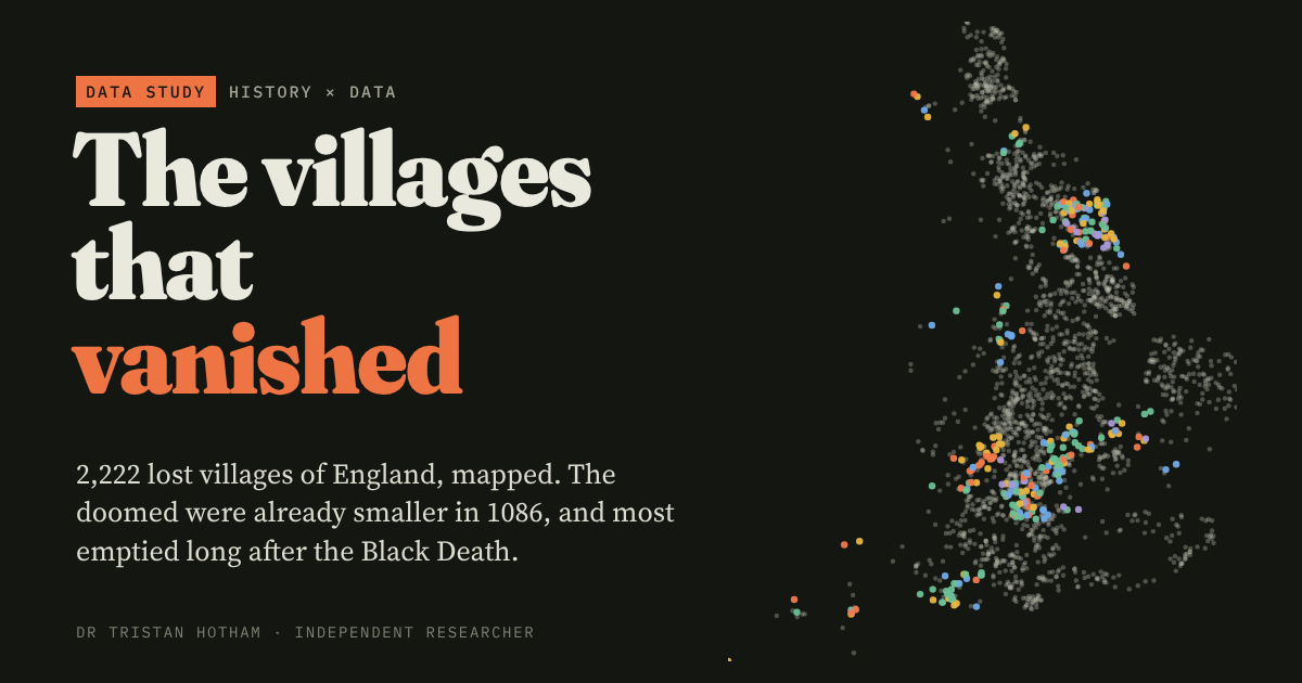
England's 2,222 deserted medieval villages against Domesday Book.
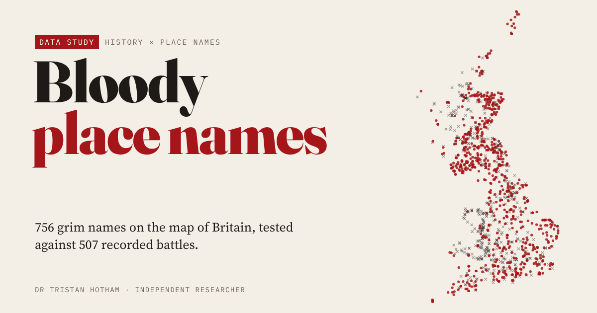
756 grim names on the OS map against 507 battles: only the Battles mark battlefields.
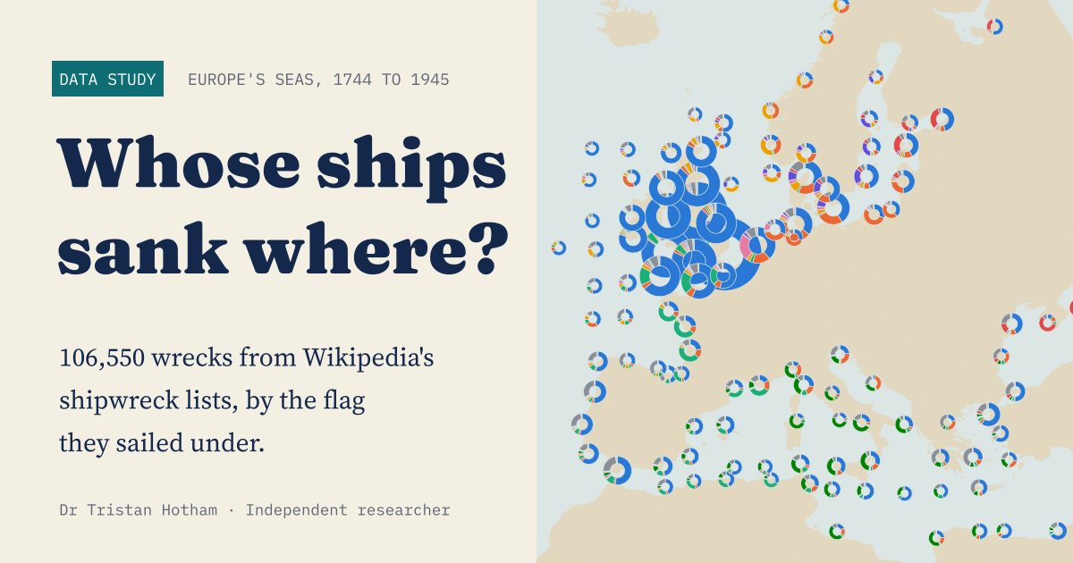
106,550 shipwrecks in Europe's seas, 1744 to 1945, by the flag they sailed under.
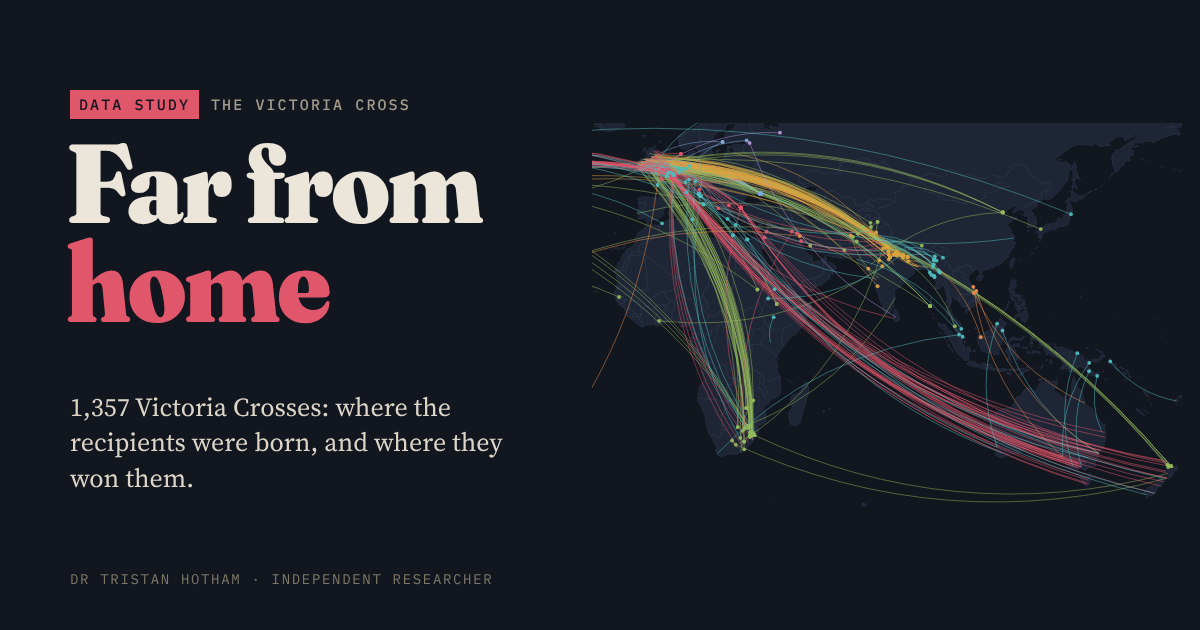
Where each Victoria Cross was won, where its recipient was born, and the distance between.
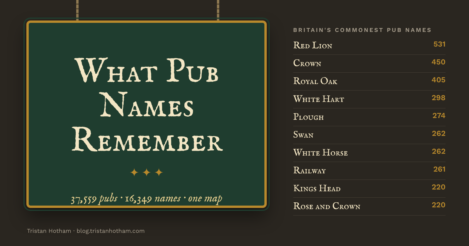
Every named pub in Britain, grouped and mapped: Red Lions, Royal Oaks and the names that give a county away.
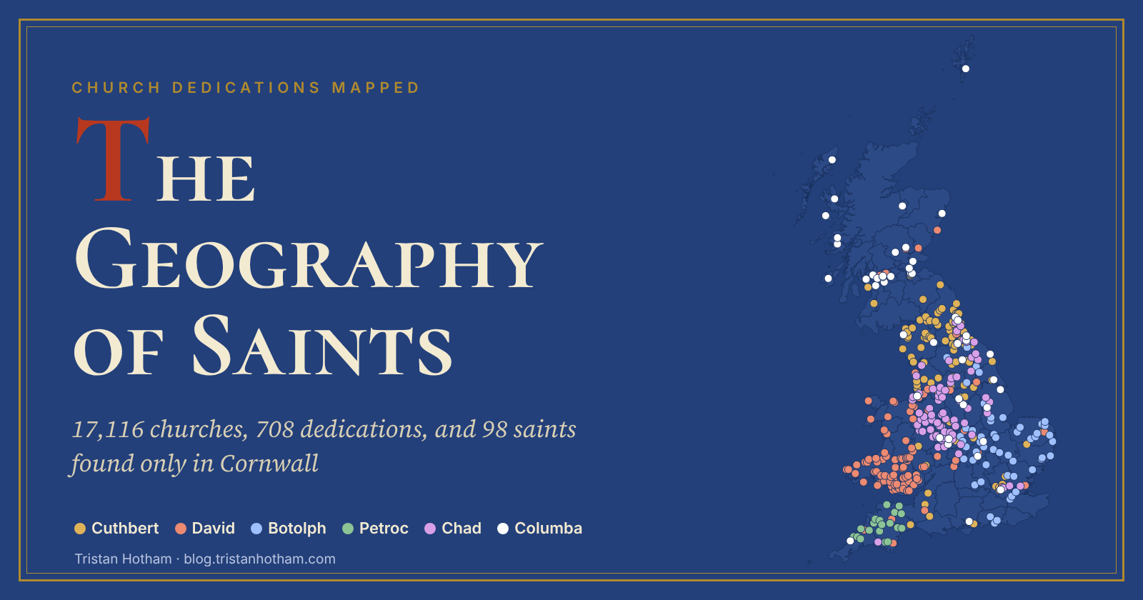
17,116 church dedications mapped: Andrew in Scotland, David in Wales, and 98 saints found only in Cornwall.
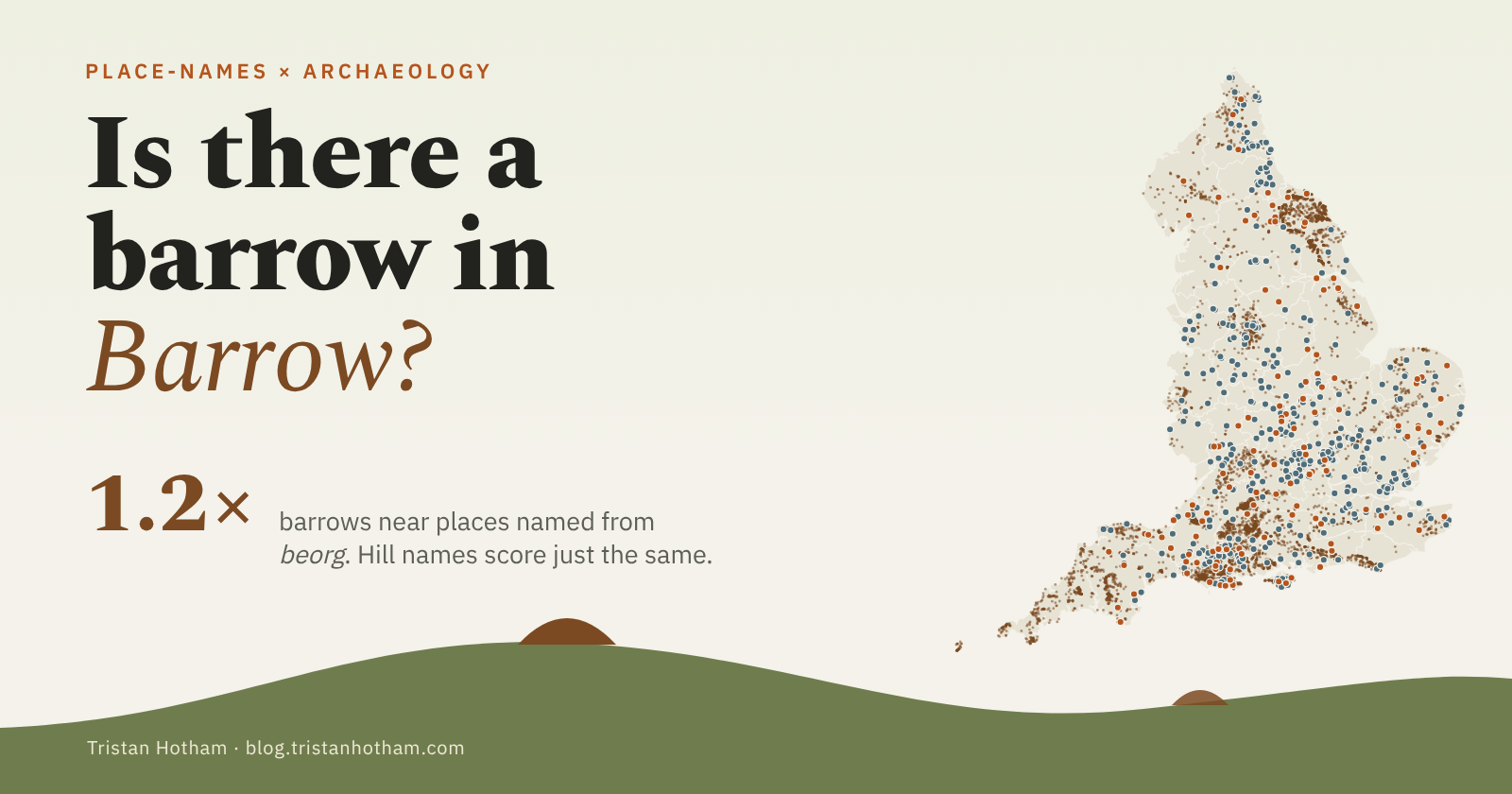
Do places named from Old English beorg sit by burial mounds? 129 names against 6,100 scheduled barrows.
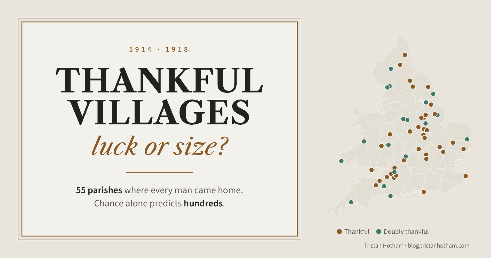
The parishes where every man came home from the First World War. Small helps, but chance predicts hundreds more.
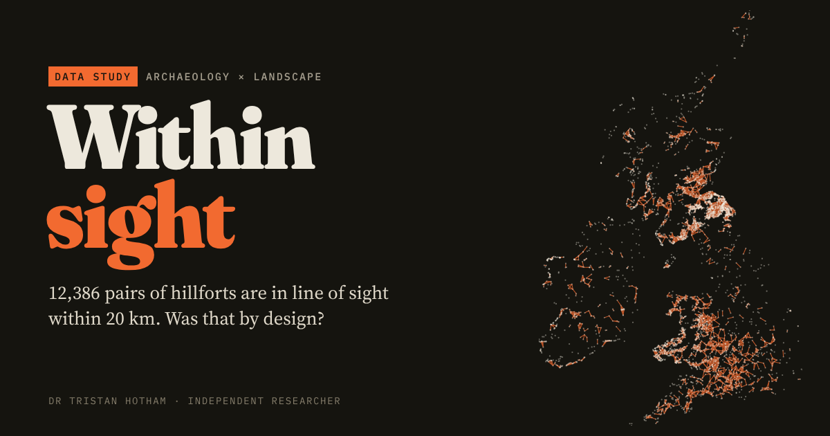
Could Britain and Ireland's 4,147 hillforts see each other? A line-of-sight network across two islands.
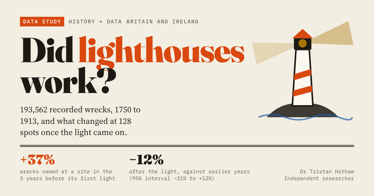
Shipwrecks before and after the lights were lit on the British and Irish coast, 1700 to 1945.
Walk north and the water changes its name. The words Britain uses for hills, valleys and streams, mapped.
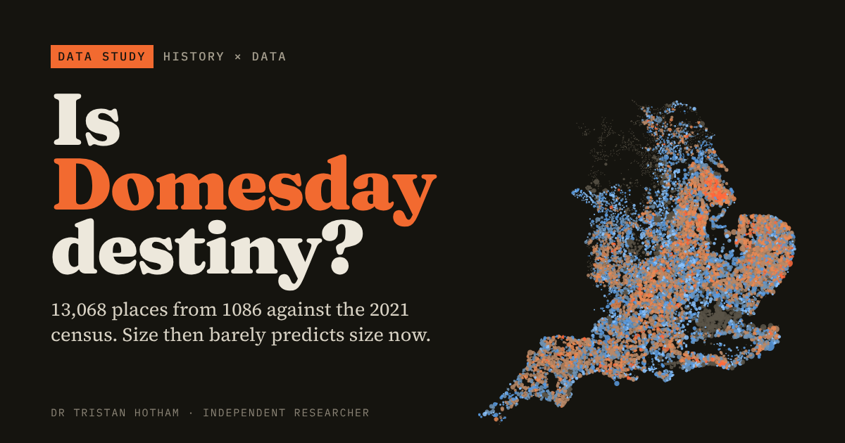
Does a place's size in 1086 still predict its size today? 13,000 Domesday places on one map.
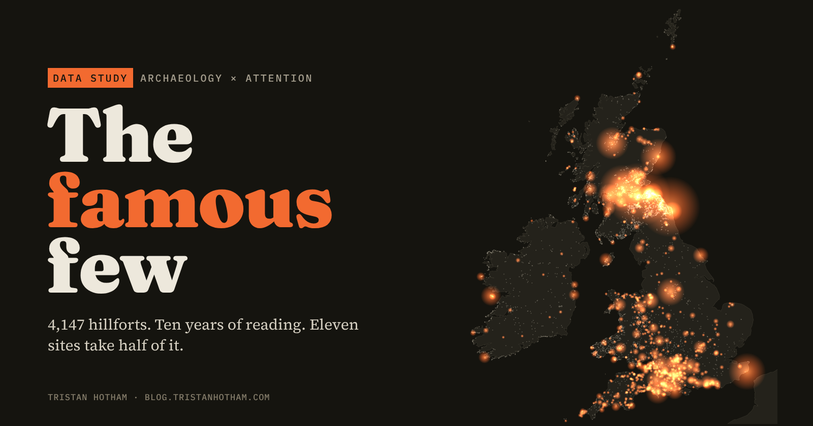
4,147 hillforts, ten years of Wikipedia reading. Eleven sites take half of it, mostly for their castles.
How much of each county's A-road network still follows a Roman line, with a lidar layer.
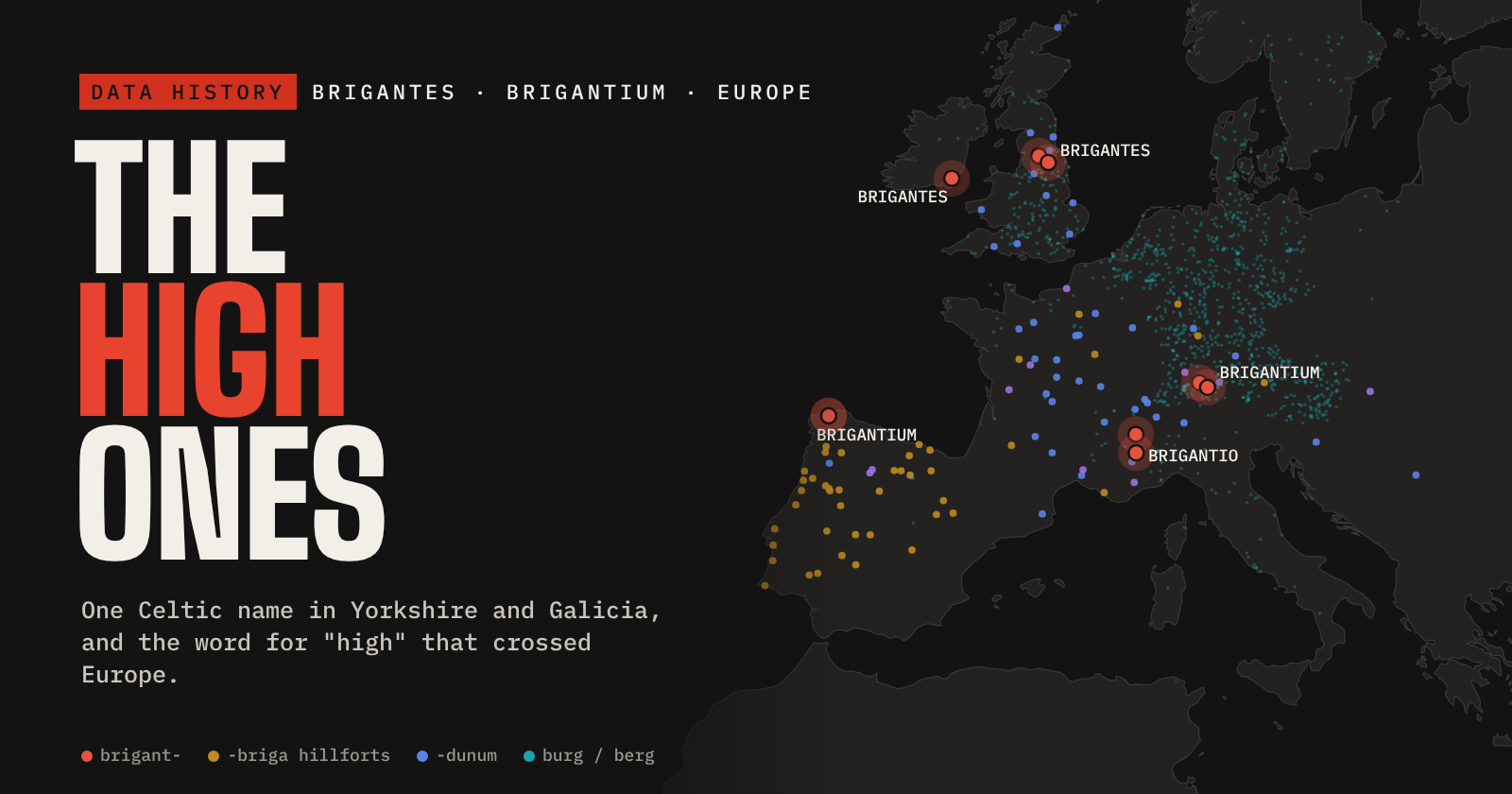
The Brigantes, Brigantium and the Celtic word for high, traced across Europe.
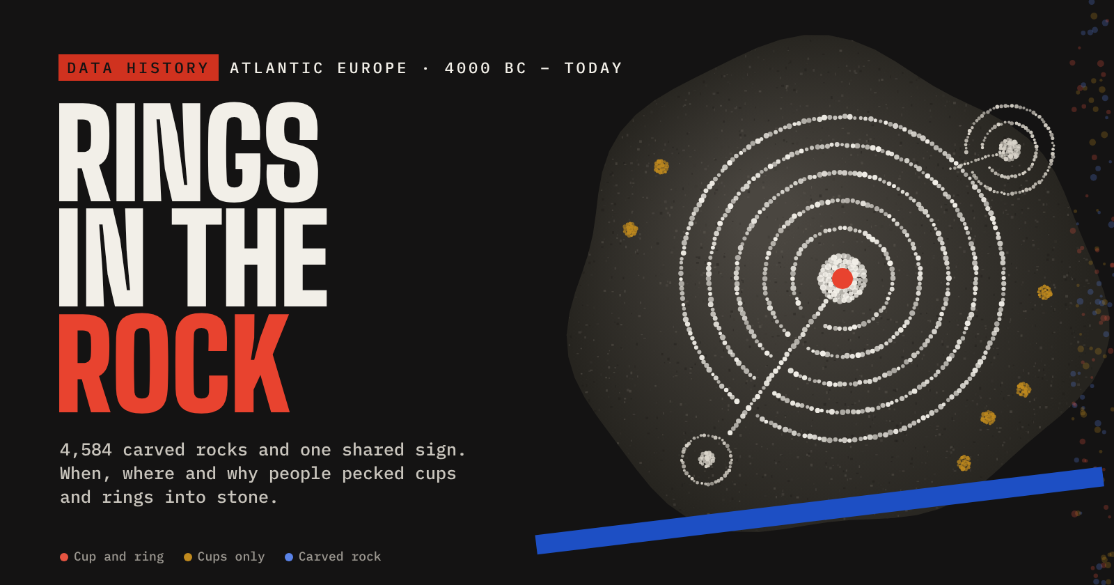
Cup-and-ring carvings on Europe's Atlantic edge: where they are, when, and what they might mean.
How an ancient triple spiral became a modern Celtic badge, 3500 BC to today.
UK searches and Portable Antiquities Scheme finds, 2004 to 2026: did a sitcom send people out with metal detectors?
No studies match that search.