UK
Who Won Here?
49UK general elections, 1832 to 2024
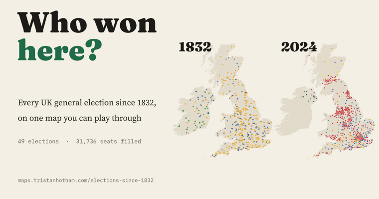
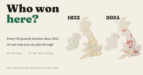
All 49 UK general elections from 1832 to 2024 on one map: 31,736 seats, the forgotten uncontested elections, the Liberal fall and the Red Wall.

Data-led researcher of politics, the past, platforms and places. Maker of maps, games and other things.
I make interactive data studies from open data, each published with its data and code. My PhD at the University of Bath looked at how political parties use Facebook. More about me

Type a UK town, city or village and pick it from the list. Each fact is read straight from one of my data studies, with a link to the map.
Use the arrow keys to move through suggestions and Enter to choose.
Pick a place to see when it last saw a total eclipse, how much winter sun its hills allow, who is its most famous native and more.
Two from the UK and two from the world: live, interactive maps built from open data.
All 49 UK general elections from 1832 to 2024 on one map: 31,736 seats, the forgotten uncontested elections, the Liberal fall and the Red Wall.
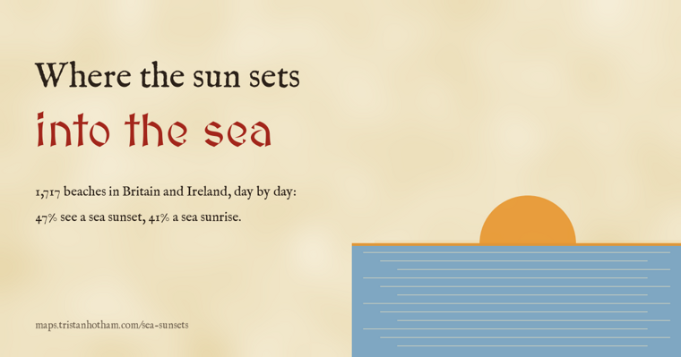
1,717 beaches in Britain and Ireland, day by day: 47% see a sunset into open sea on some day of the year, only 52 every day, and Arran hides 134 sunsets a year from Troon.
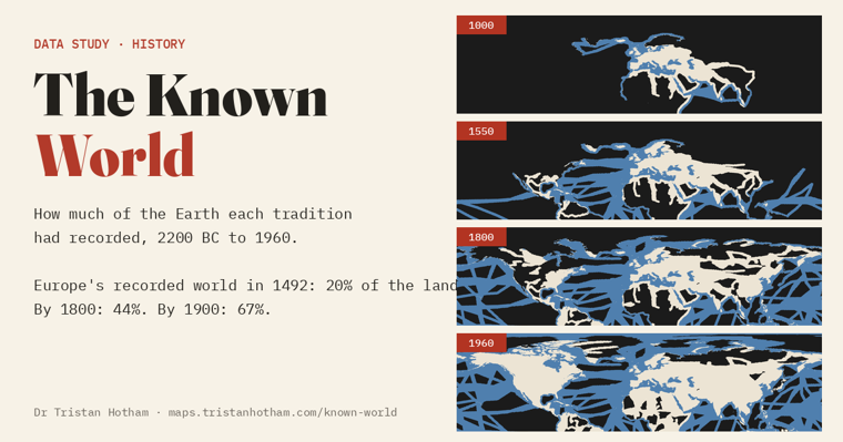
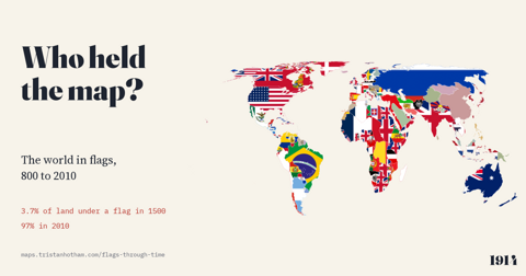
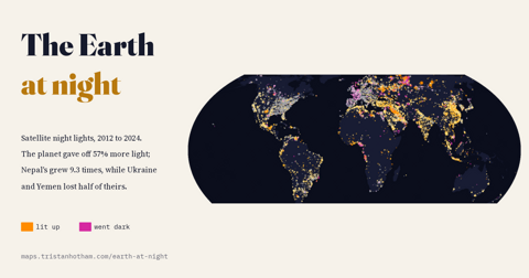
681 journeys from the Bronze Age to 1960 light up a dark world: Europe had recorded 20% of the land in 1492 and 67% by 1900, and much of the dark was known first to China, the Islamic world or Polynesian voyagers.
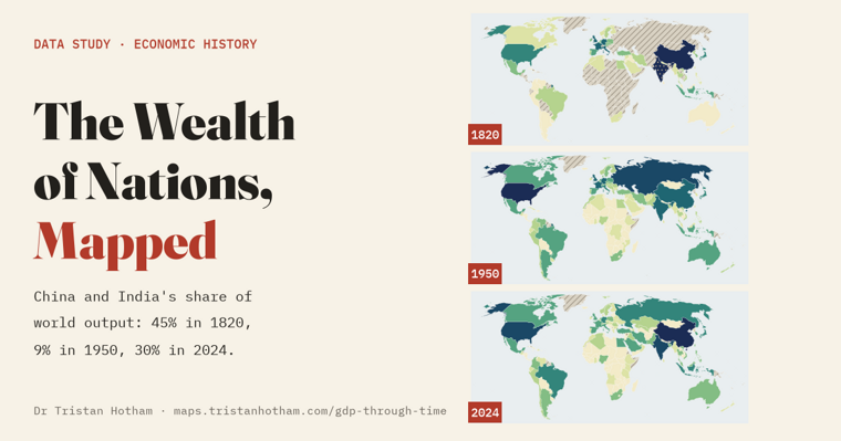
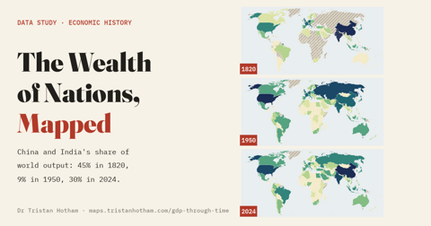
The world economy on one playable map from 10,000 BC to 2024: China and India made 45% of world output in 1820, 9% in 1950 and 30% today.
Five ways in, by taste. Three maps behind each door.
Today’s game
A daily map game: guess the mystery UK town in six goes. Every wrong guess tells you how far away you are and unlocks a clue.
The newest first: the past, places, politics, food and the weather. Every study has a map, a write-up and open data. Filter by theme, or let the dice choose.
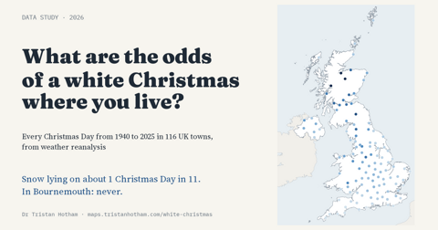
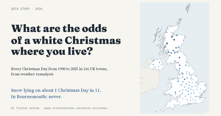
Christmas Day snow at 116 UK towns since 1940: snow lay in about 1 Christmas in 11, from never in Bournemouth to most years in the Highlands.
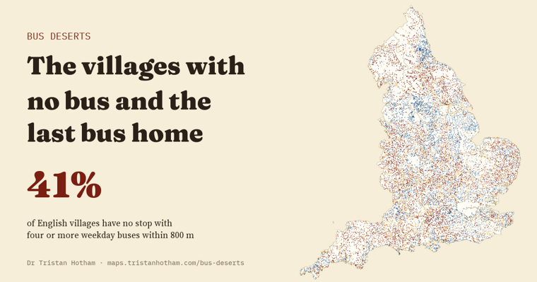
41% of English villages have no usable weekday bus within 800 m, and 68% no Sunday bus nearby.
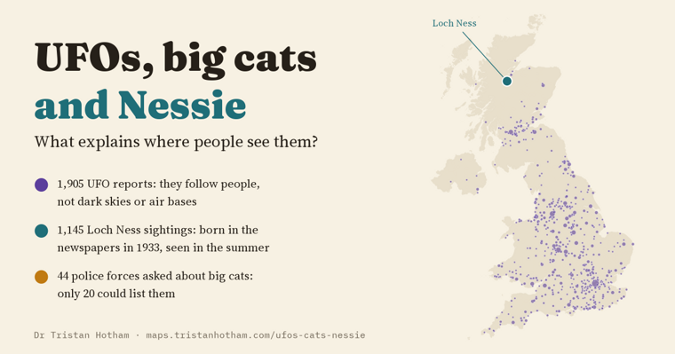
What explains where people see them? UFO reports, police big cat records and the Loch Ness sightings register, tested.
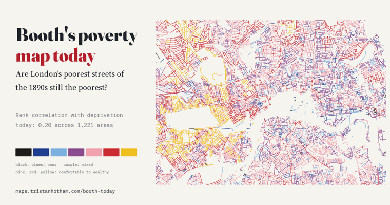
Are London's poorest streets of the 1890s still the poorest? Booth's colours read street by street against today's deprivation.
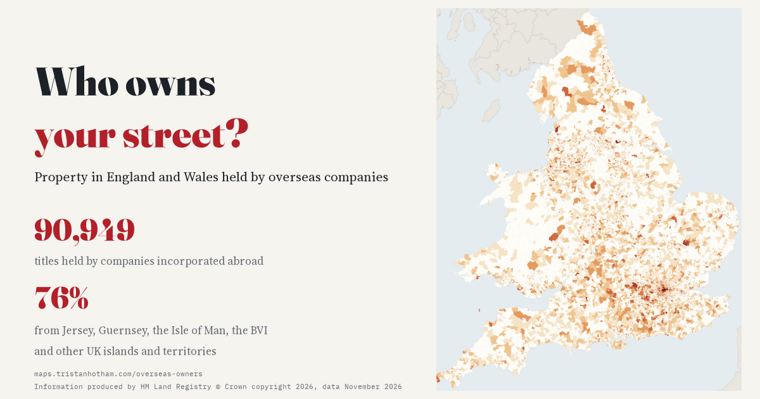
Property in England and Wales held by overseas companies, by small area: 90,949 titles, 76% via Crown Dependencies and Overseas Territories.
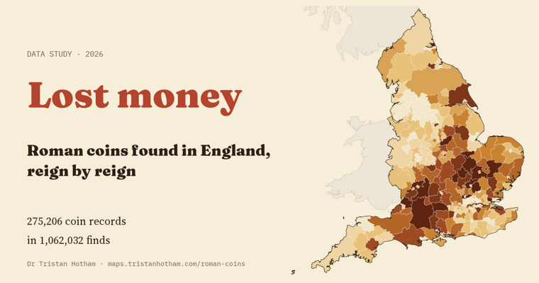
Roman coins found in England, reign by reign: 275,206 Portable Antiquities Scheme records by district.
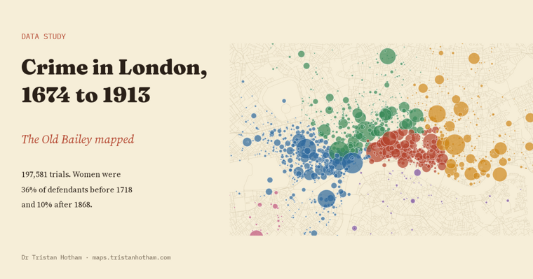
The Old Bailey Proceedings mapped: from the gallows and transportation to prison, and where London's crimes happened.
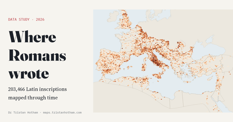
200,000 Latin inscriptions mapped across the Roman Empire: the epigraphic habit, ages on tombstones and soldiers far from home.
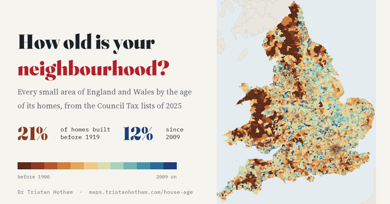
The age of the homes in every small area of England and Wales: 21% predate 1919, and cities grow in rings.
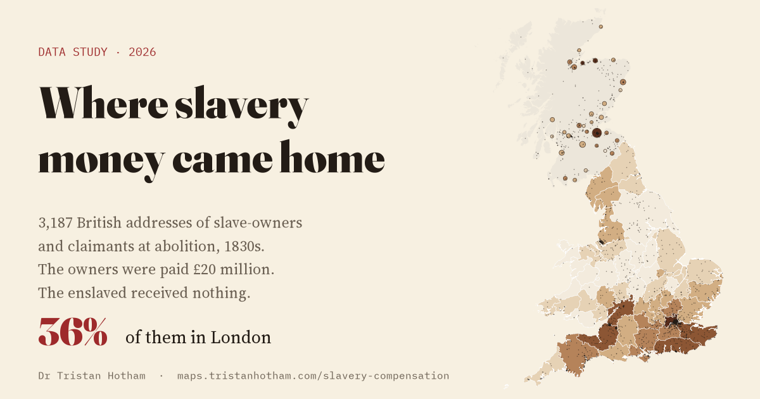
3,187 British addresses of slave-owners and claimants compensated in the 1830s: 36% in London.
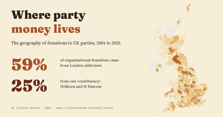
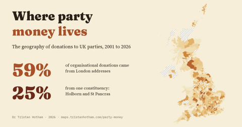
Organisational donations to UK parties since 2001 by donor address: 59% from London, and a quarter from one constituency.
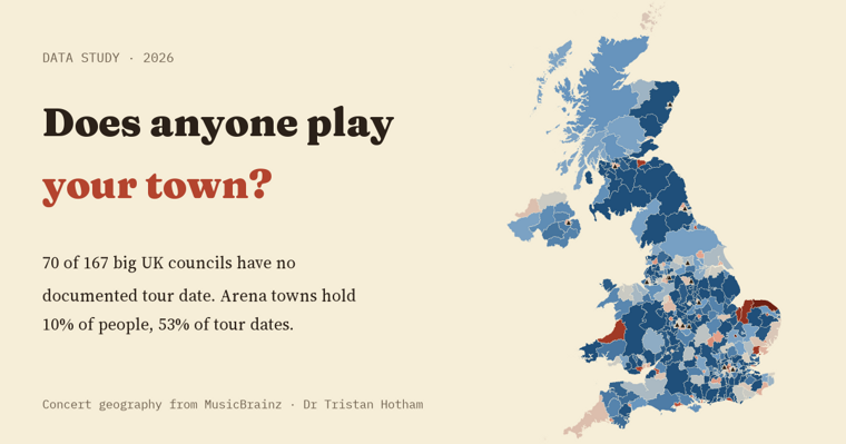
Every UK concert documented in MusicBrainz, 1960 to 2025, by council area: arena towns hold 10% of people but 53% of documented tour dates.
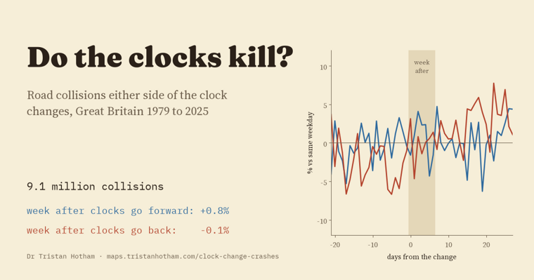
Road collisions in the week after the clocks change, Great Britain 1979 to 2025: no jump in spring or autumn across 9.1 million collisions.
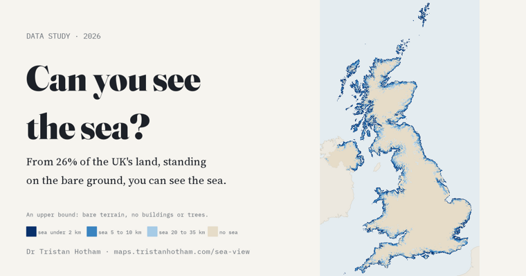
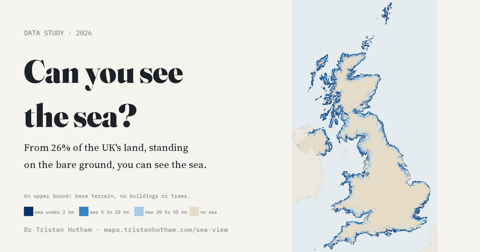
Sight lines from every 1 km square of the UK: 26% of the land has a sea view from the ground.
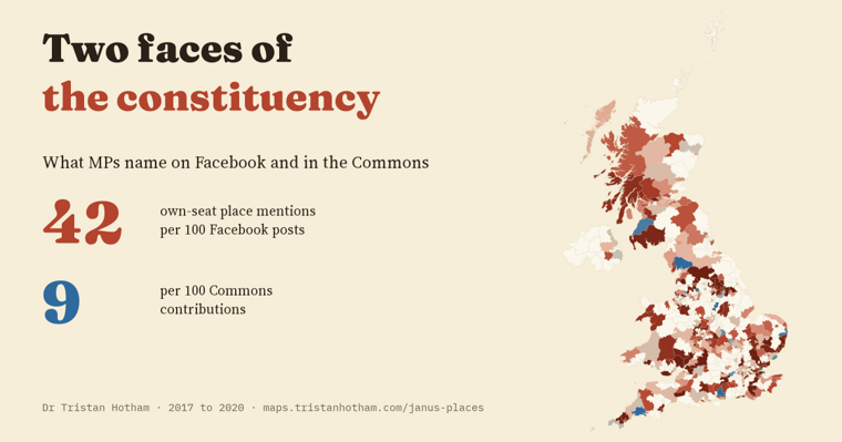
How often MPs name the places they represent: 42 times per 100 Facebook posts, 9 per 100 Commons speeches.
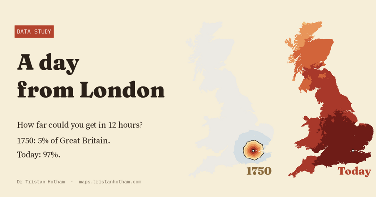
How far a traveller leaving London at dawn could get in a day in 1750, the 1830s, 1850, 1910 and today: from about 5% of Great Britain's land to almost all of it.
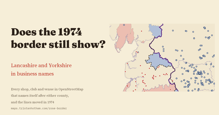
Lancashire and Yorkshire in business names: where the old line did not move, it is still sharp, and the Lancashire name thins out in Greater Manchester and Merseyside.
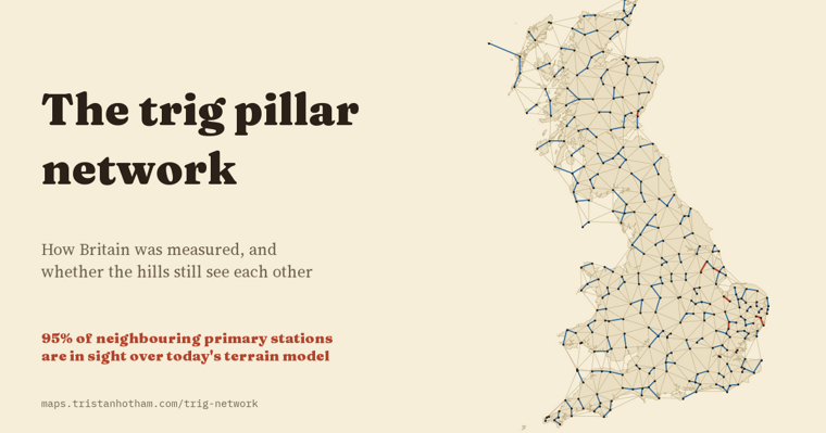
How Britain was measured: 6,573 OS trig pillars, and 95% of the lines between neighbouring primary stations still clear on a terrain model.
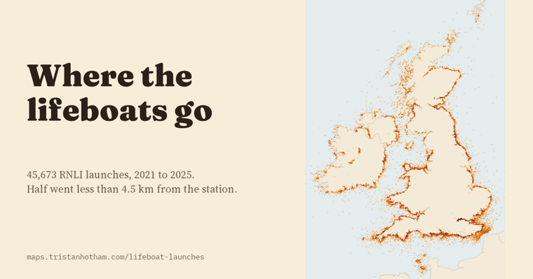
Five years of RNLI launches mapped: half go less than 4.5 km from the station, and all-weather boats go about two and a half times further than inshore boats.
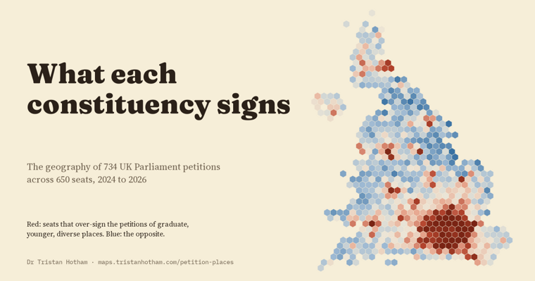
Signatures by constituency for 734 UK Parliament petitions: every petition's map is clustered, and two broad signing profiles run through the seats.
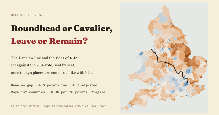
Did the Danelaw or the Civil War leave a trace in the 2016 vote? Once demography is held equal, Danelaw seats voted much like the rest of England.
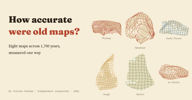
Eight maps from Ptolemy to Ino Tadataka, re-fitted one way: median error from 26% of the mapped area on the Peutinger Table to under 2% on Ino's survey of Japan.
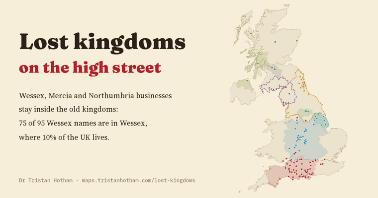
Businesses named after Wessex, Mercia and Northumbria still cluster inside the old kingdoms: 75 of 95 Wessex names are in Wessex.
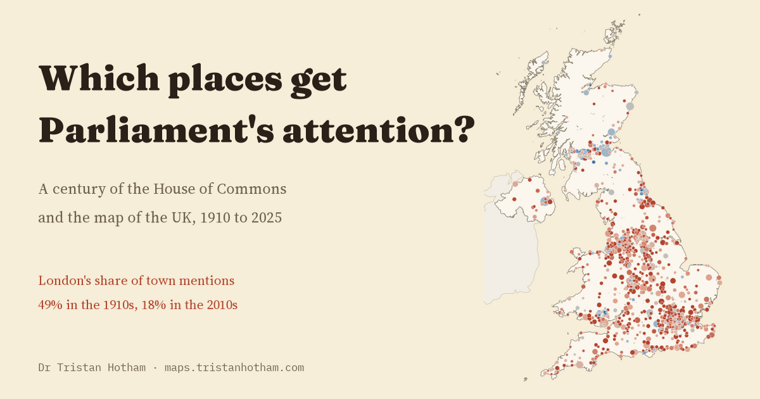
A century of Commons mentions of 1,596 UK towns: London's share fell from 49% in the 1910s to 18% in the 2010s, and towns named in a seat's title get about twice the mentions.
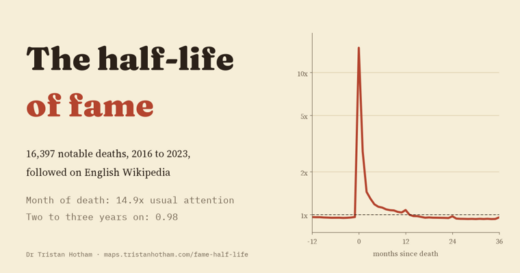
16,397 notable deaths on English Wikipedia: attention jumps about 15-fold in the month of a death and is back near its old level within two years.
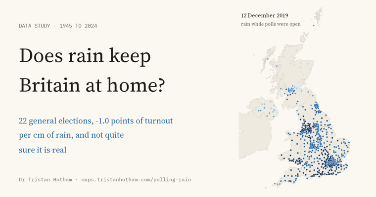
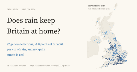
Rain while the polls were open at 22 UK general elections since 1945: turnout about a tenth of a point lower per millimetre, but not established.
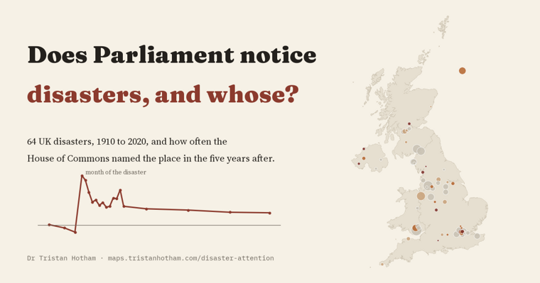
64 UK disasters, 1910 to 2020: the Commons names the place about 10 times as often in the month of a disaster, and most of that fades within the year.
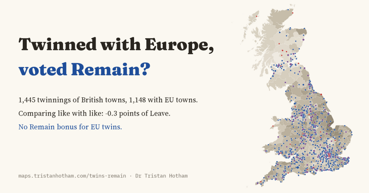
1,445 British town twinnings against the 2016 vote: places twinned with Europe voted about the same as similar places.
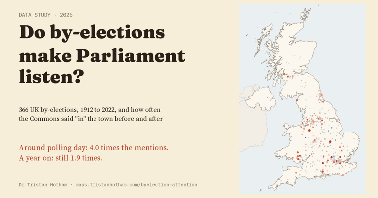
366 UK by-elections and a century of Hansard: the town gets about four times the Commons mentions around polling day, and more for two years.
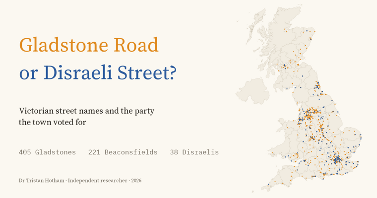
Every Victorian statesman's street in Britain, set against how 160 towns voted, 1868 to 1900: Liberal names everywhere, a little more in Liberal towns.
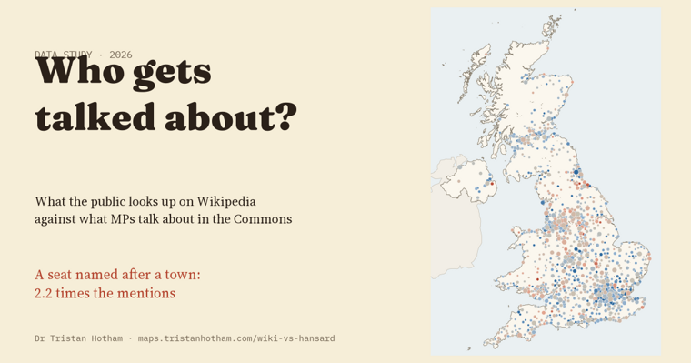
Wikipedia reading against Commons debate for 1,425 UK towns: a seat named after a place goes with 2.2 times the mentions.
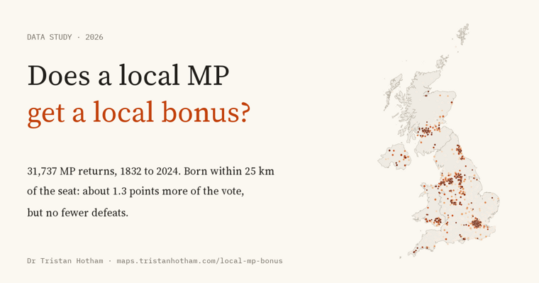
31,737 MP returns since 1832: MPs born within 25 km of their seat win about 1.3 points more of the vote, but are defeated just as often.
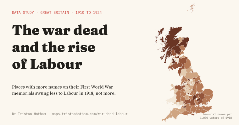
First World War memorial names against every election from 1906 to 1924: places that lost more men swung less to Labour in 1918, not more. A suggestive, pre-planned test.
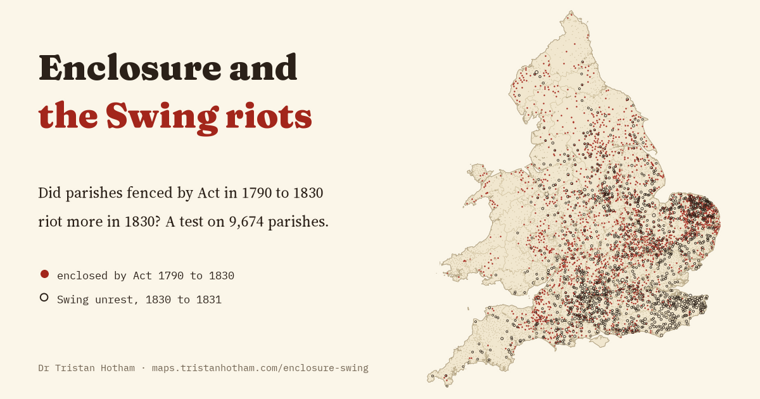
Every enclosure Act linked to 9,674 parishes in a pre-planned test: enclosed parishes rioted 2.7 points more in 1830, but no more than other parishes of the same size.
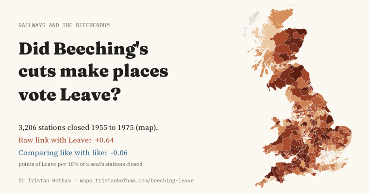
3,206 stations closed from 1955 to 1975. Seats that lost more voted Leave more, but compared with similar seats the link vanishes: a well-powered null.
1,717 beaches in Britain and Ireland, day by day: 47% see a sunset into open sea on some day of the year, only 52 every day, and Arran hides 134 sunsets a year from Troon.
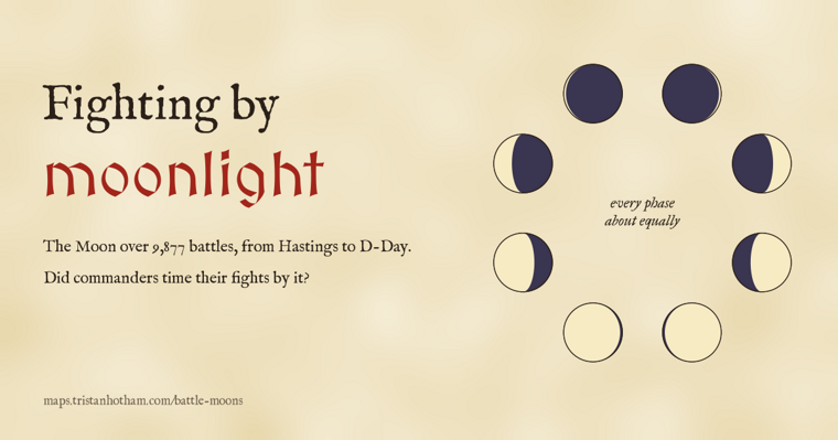
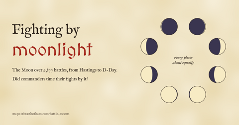
The Moon over 9,877 dated battles, with calendars corrected: they fall on every phase almost equally, and D-Day's bright Moon was the exception, not the rule.
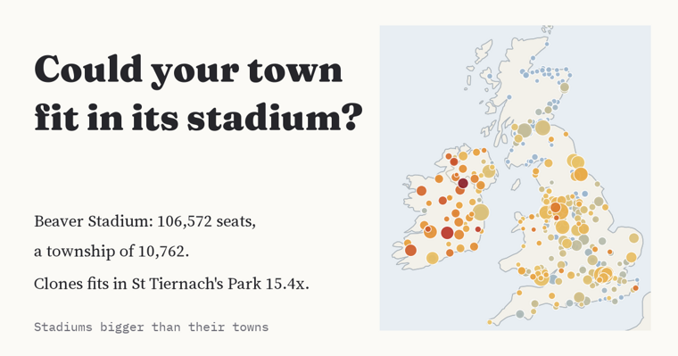
190 sports grounds hold more people than their town: GCS Ballpark seats Sauget 42.5 times over, St Tiernach's Park seats Clones 15.4 times, and Turf Moor holds 27% of Burnley.
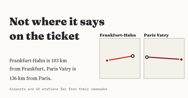
4,448 airports and 2,888 UK stations measured against the place in their name: Paris Vatry is 136 km from Paris, Frankfurt-Hahn 103 km, and Tiverton Parkway 9 km from Tiverton.
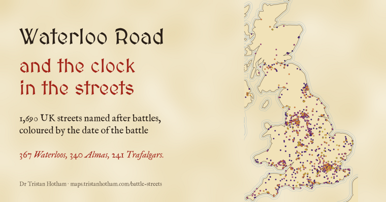
1,690 UK streets named after battles from 1793 to 1944: 367 Waterloos and 340 Almas, and in 53 of 75 towns the later battles lie farther from the centre.
My research on parties, leaders and campaigns asks what they actually post, who they reach, and what platforms change. Every paper is open, with a plain-English summary.
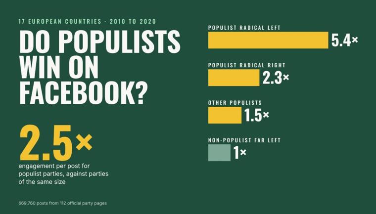
A typical post by a populist party received about 2.5 times as many likes, comments, shares and reactions as a post by another party of the same size and government status.
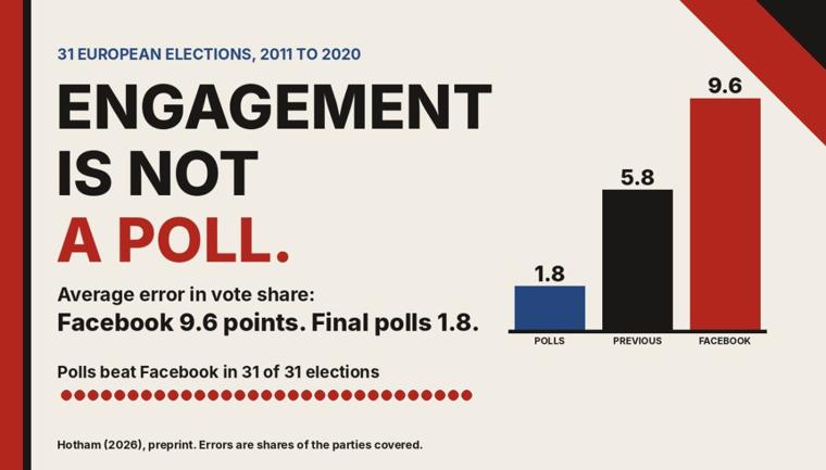
As a forecast on its own, engagement was poor: its mean absolute error was 9.6 points, against 1.8 points for the final polls.
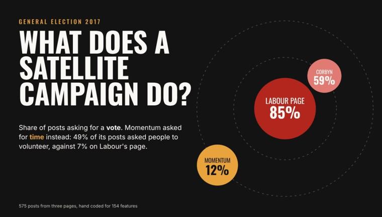
Momentum asked for a vote in 12% of posts. Instead about half its posts asked people to help on the doorstep, volunteer or sign up to campaign.
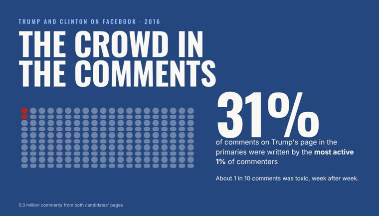
Participation was very unequal: the most active 1% of 1.1 million commenters wrote 31% of the comments.
The big idea from my PhD: one party shows different faces to different audiences, a traditional face on its own pages and a looser, more partisan one through satellite pages and supporters.
To get in touch about my research, email me.
Short bio: Dr Tristan Hotham is an independent, data-led researcher of politics, the past, platforms and places. PhD, University of Bath. Views are my own.
Cite this site: Hotham, T. (2026). Dr Tristan Hotham: research and data stories. https://tristanhotham.com/