Home / Data stories / People and politics
People and politics
Who Held the Map?
Twelve centuries of the world map, 800 to 2010, each piece of land filled with the flag of whoever held it. In 1000 no land can honestly be shown with a flag; by 2010, 97% can.
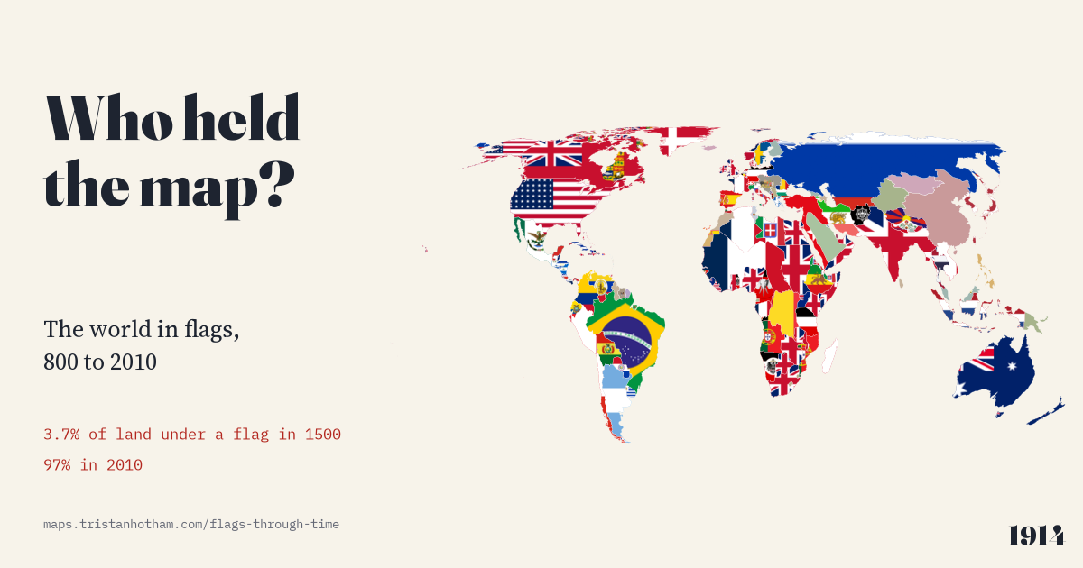
This is an interactive data study by Dr Tristan Hotham, built from open data. The map runs in your browser: explore it, search for places and switch layers. The write-up explains the method and what the data shows, and the data and code are open for anyone to reuse.
More in People and politics
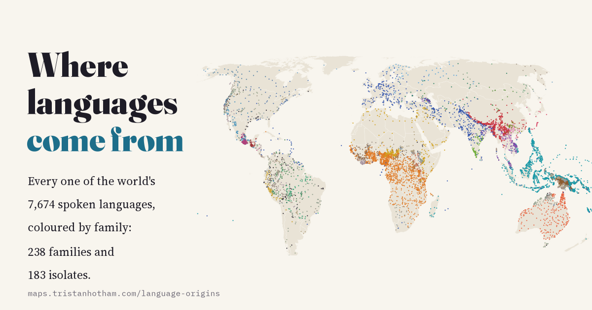 Where Languages Come FromEvery one of 7,674 spoken languages with its family tree, endangerment and speakers, plus the proposed homelands of the great families: 421 separate lineages, and 52.1% of languages endangered.
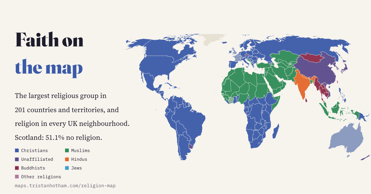 Faith on the MapReligion in 201 countries, every UK neighbourhood and 1.6 million places of worship: Christianity's centre has moved to sub-Saharan Africa, and most of Scotland now says no religion.
 Born Here166,586 notable people matched to the UK towns they were born in: the most famous person from each, the towns that punch above their weight, and why so many are hospital towns.
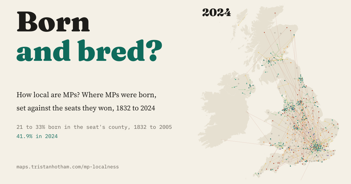 Born and Bred? How Local Are MPs?Where 10,094 MPs since 1832 were born, set against the seats they won: for 170 years about a quarter were born in their seat's county, and since 2010 it is 41.9%.
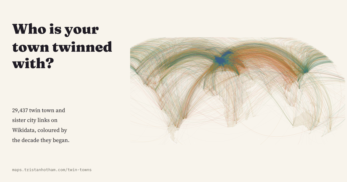 Who Is Your Town Twinned With?All 29,437 twin town and sister city links on Wikidata as arcs on one map: a post-war European habit that peaked in 1990 and lost dozens of Russian links after 2022.
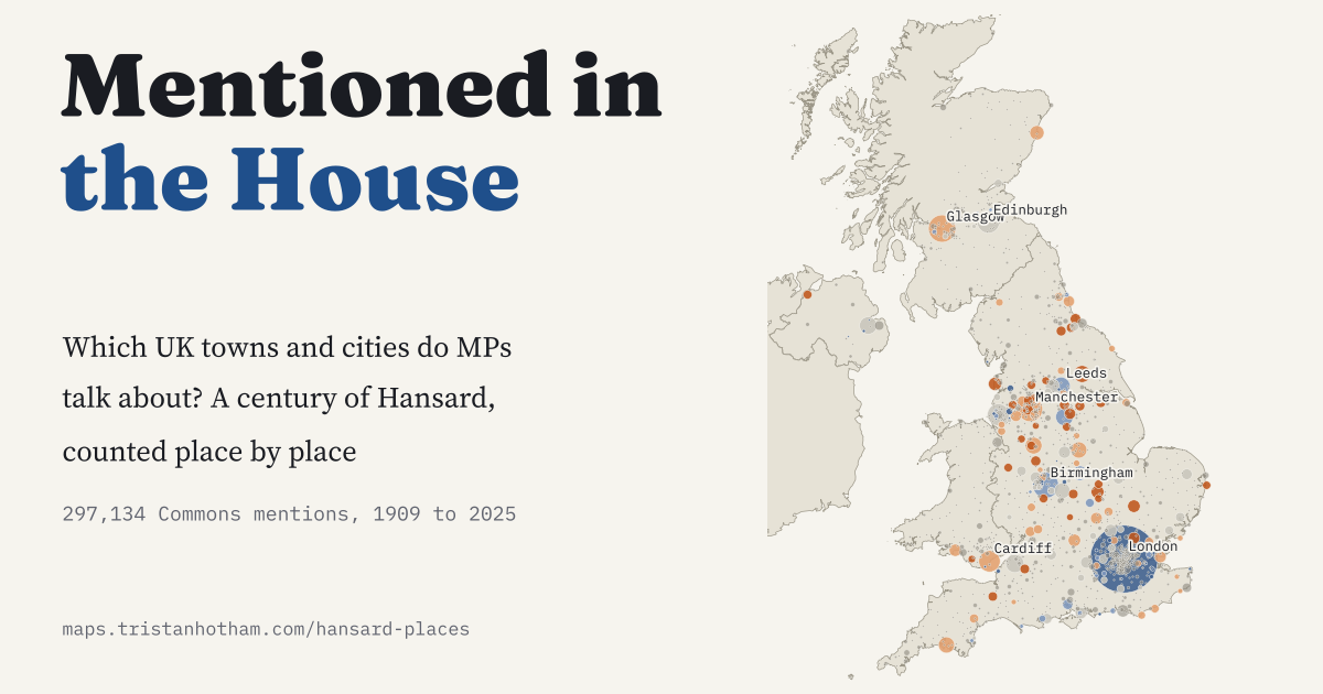 Mentioned in the House297,134 Commons mentions of UK towns and cities in Hansard since 1909: which places punch above their weight, and who names your constituency.