Home / Data stories / Names on the map
Names on the map
Gallows Hill
Where Britain put its gallows: 340 names measured for height, roads, towns and boundaries.
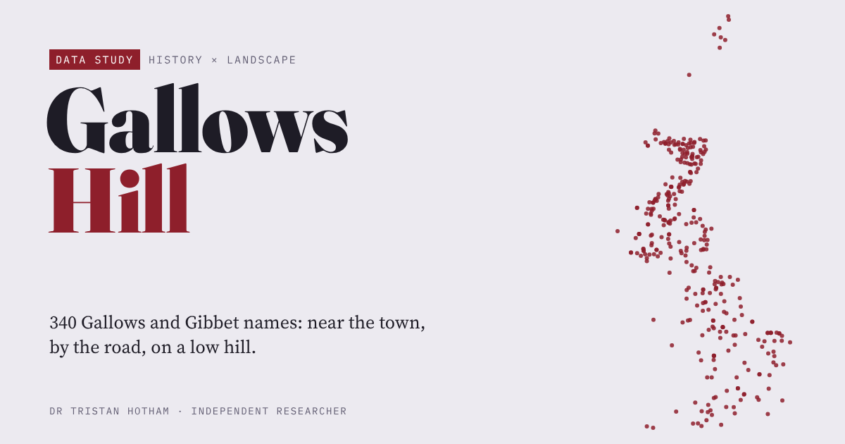
This is an interactive data study by Dr Tristan Hotham, built from open data. The map runs in your browser: explore it, search for places and switch layers. The write-up explains the method and what the data shows, and the data and code are open for anyone to reuse.
More in Names on the map
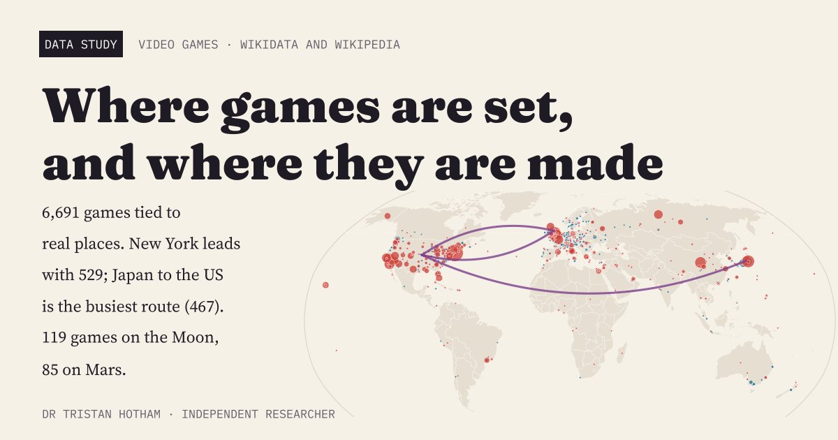 Games on the MapA world map of 6,691 video games tied to real places: New York leads, Japan to the United States is the busiest route from studio to setting, and the Moon beats Mars.
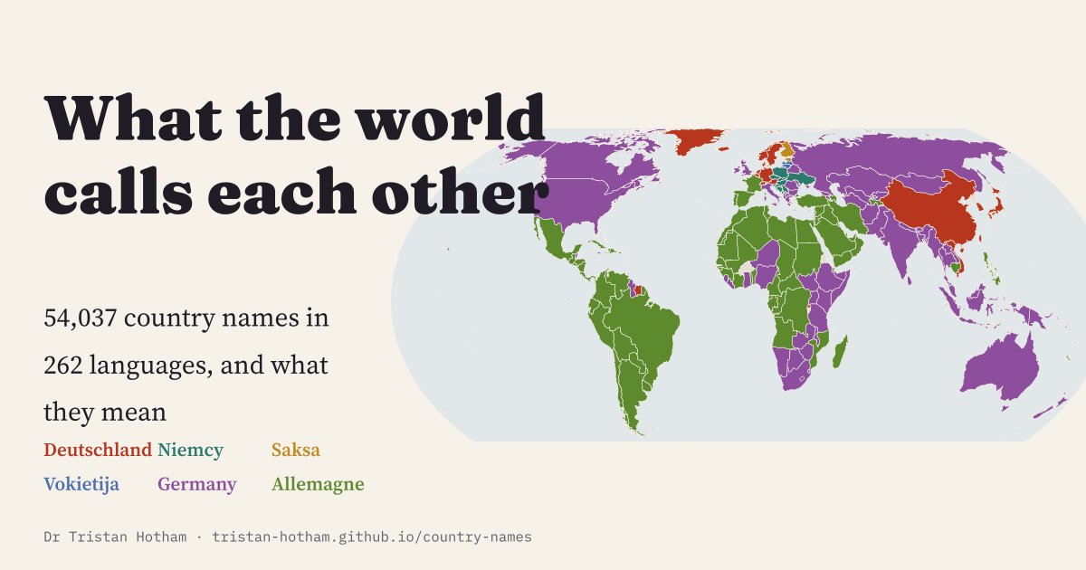 What the World Calls Each Other54,037 country names in 262 languages: most countries keep something like their own name everywhere, but Germany has six families of names.
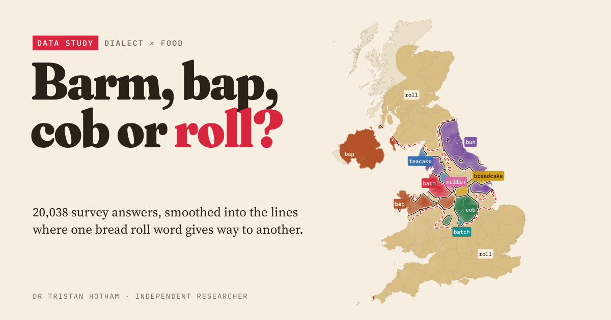 Barm, Bap, Cob or Roll?20,038 dialect survey answers mapped into Britain's bread roll lines, checked against the high street.
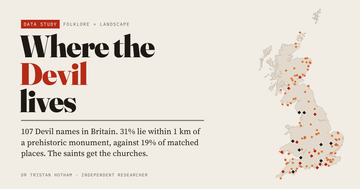 Where the Devil Lives107 Devil place names in Britain: 31% lie within 1 km of a prehistoric monument, against 19% of comparable places.
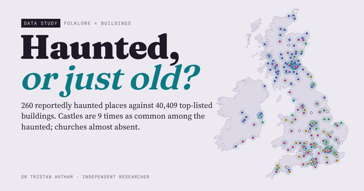 Haunted, or Just Old?260 reportedly haunted places against 40,409 top listed buildings: castles and inns are 9 times as common among them, churches almost vanish.
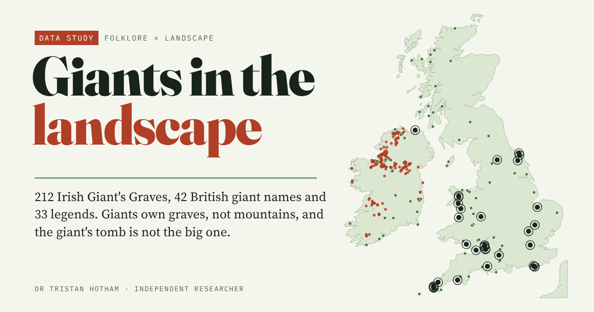 Giants in the Landscape331 giant places in Britain and Ireland: giants own graves, not mountains.