Home / Data stories / Romans to Tudors
Romans to Tudors
Al-Idrisi's World
The map made for Roger II of Sicily in 1154, south at the top, measured on 431 towns: directions right to a median 10 degrees, and Sicily drawn best.
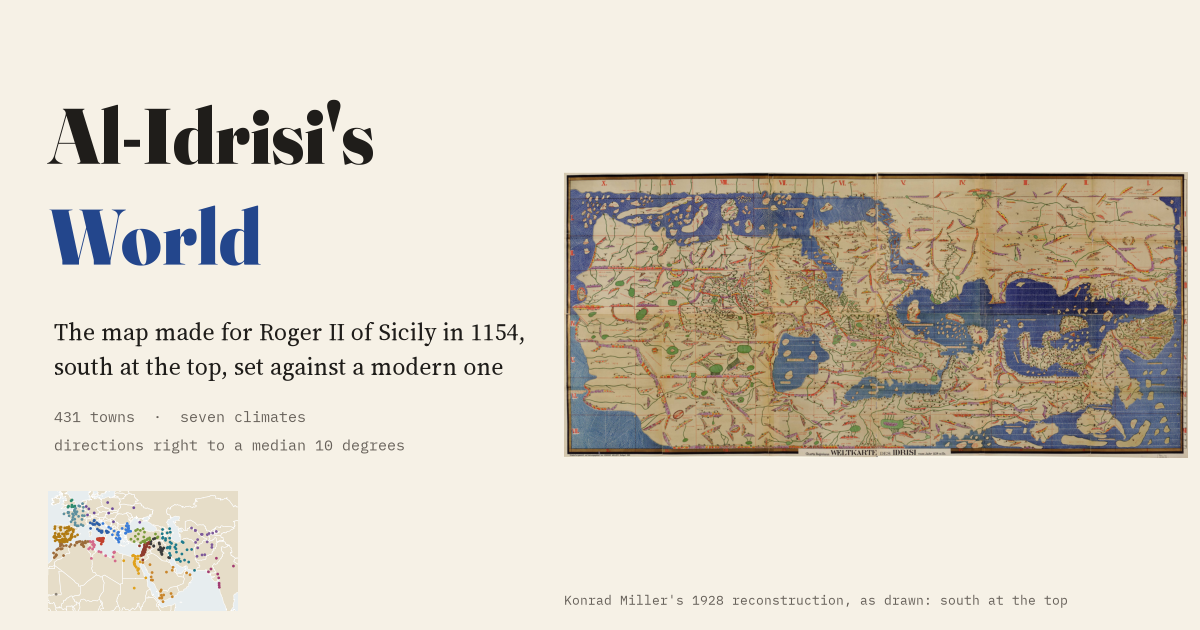
This is an interactive data study by Dr Tristan Hotham, built from open data. The map runs in your browser: explore it, search for places and switch layers. The write-up explains the method and what the data shows, and the data and code are open for anyone to reuse.
More in Romans to Tudors
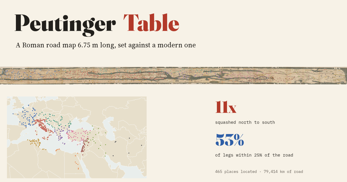 The Peutinger TableA Roman road map 6.75 m long beside a modern one: it squashes the world 11 times north to south, yet most of its road distances are close to the real road.
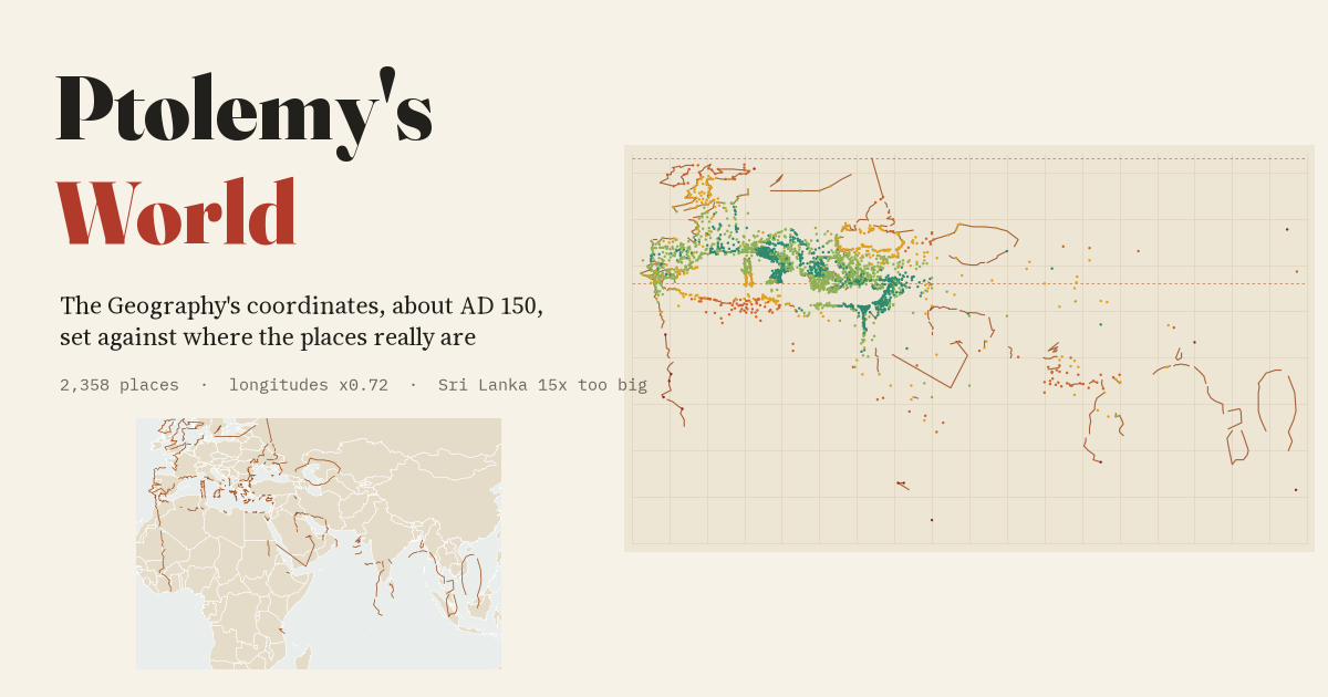 Ptolemy's World, Measured2,358 of Ptolemy's places set against where they really are: shrink his longitudes by 0.72 and the map falls into place, but Scotland is turned on its side.
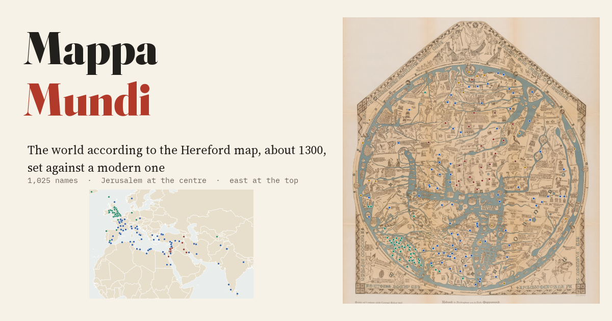 The Hereford Mappa MundiThe largest surviving medieval world map set beside a modern one: its directions from Jerusalem are mostly right, but the Holy Land is drawn 4.5 times too big.
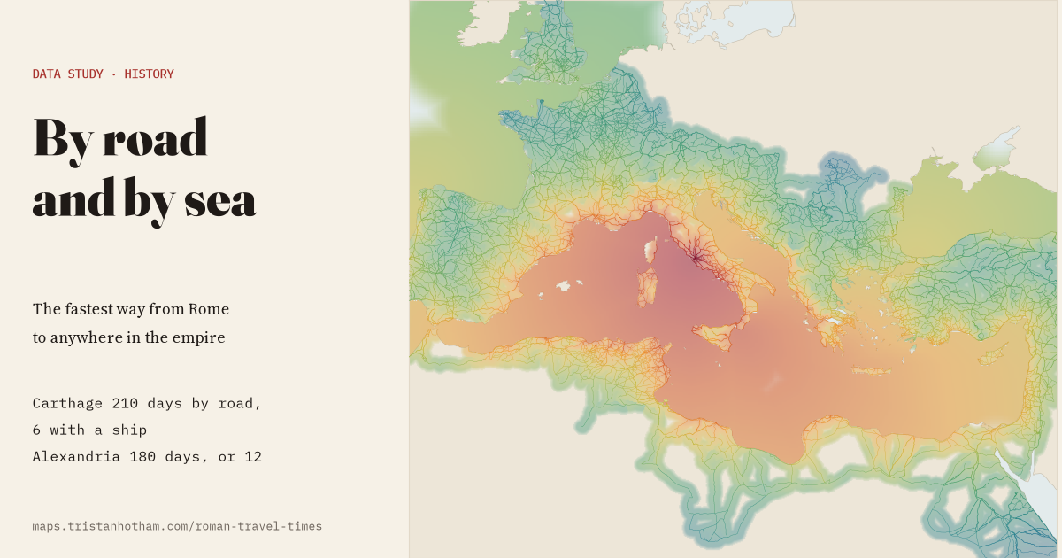 By Road and by SeaFastest travel from Rome with ships as well as roads: Carthage was 210 days' walk by road and 6 with a ship, from Casson's ancient voyage speeds.
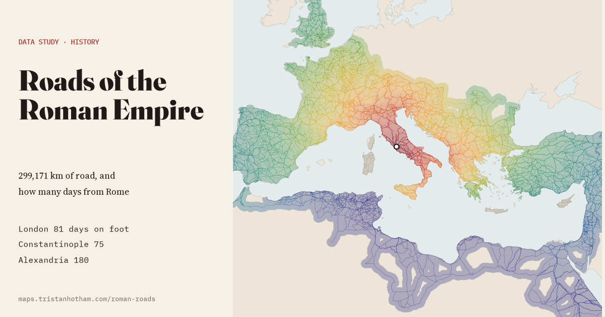 Roads of the Roman Empire299,171 km of Roman road and a travel model: London was 81 days on foot from Rome, Constantinople 75 and Alexandria 180.
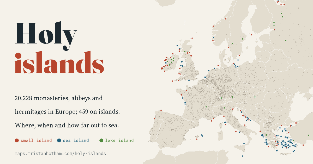 Holy Islands20,228 European monasteries and hermitages checked against the shoreline: before 800, 4.3% stood on islands, from Skellig Michael to Iona; after 1100, about one in a hundred.