Home / Data stories / Early modern and modern
Early modern and modern
The Known World
681 journeys from the Bronze Age to 1960 light up a dark world: Europe had recorded 20% of the land in 1492 and 67% by 1900, and much of the dark was known first to China, the Islamic world or Polynesian voyagers.
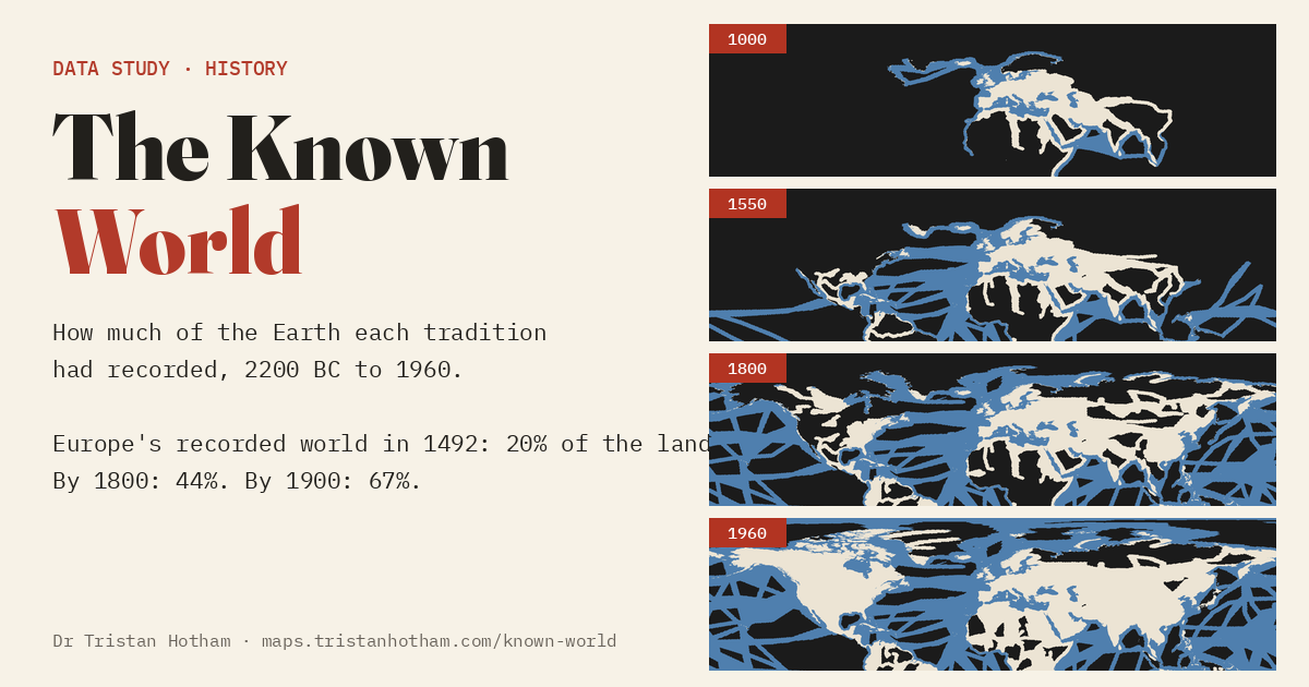
This is an interactive data study by Dr Tristan Hotham, built from open data. The map runs in your browser: explore it, search for places and switch layers. The write-up explains the method and what the data shows, and the data and code are open for anyone to reuse.
More in Early modern and modern
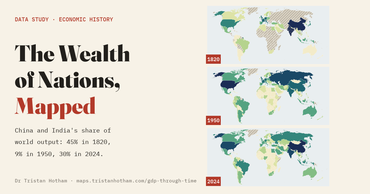 The Wealth of Nations, MappedThe world economy on one playable map from 10,000 BC to 2024: China and India made 45% of world output in 1820, 9% in 1950 and 30% today.
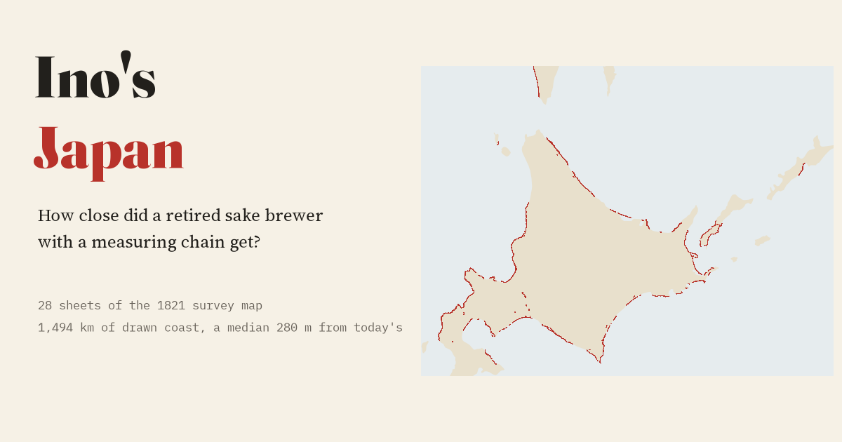 How Close Did Ino Get?Ino Tadataka's 1821 survey of Japan's far north laid on today's coast: the drawn coastline sits a median 280 m from the modern line.
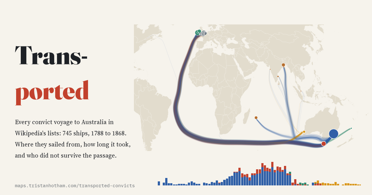 TransportedEvery convict ship voyage to Australia, 1788 to 1868: the busiest port was Cork and the Second Fleet lost a quarter at sea.
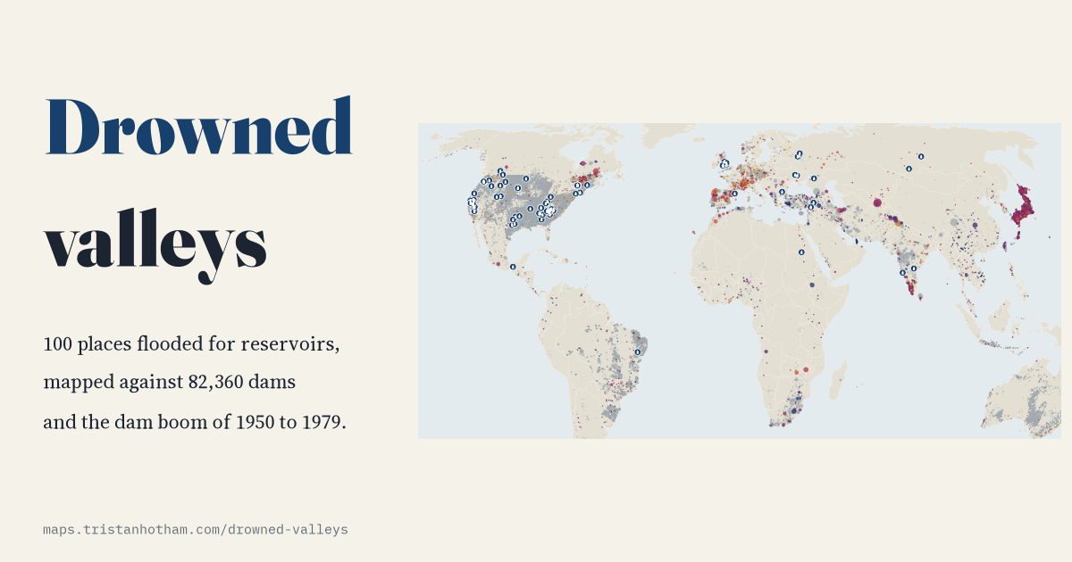 Drowned ValleysThe villages and valleys flooded for reservoirs, from Capel Celyn to Mologa, set against the great dam-building boom.
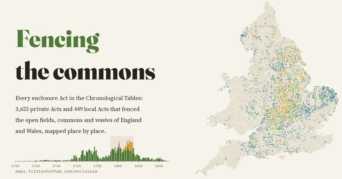 Fencing the CommonsEvery parliamentary enclosure Act in England and Wales mapped place by place: two waves, and half passed in the wars with France.
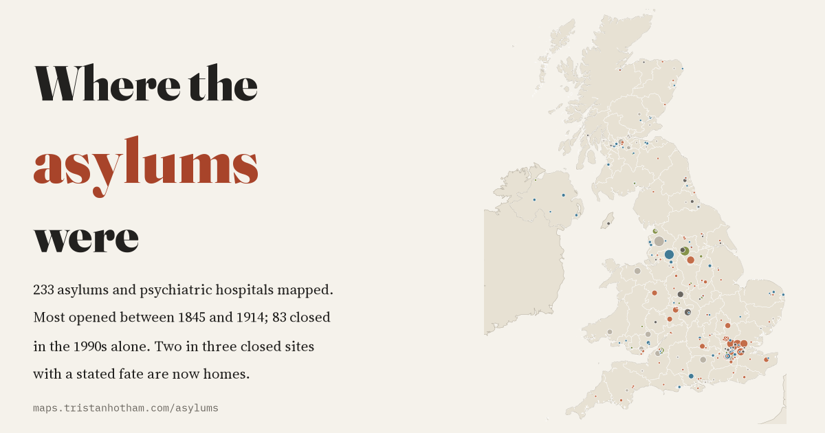 Where the Asylums WereBritain's asylums mapped: most built between 1845 and 1914, almost none closed until the 1980s, and most closed sites are now homes.