Home / Data stories / Land, sea and sky
Land, sea and sky
Desert, Forest, Ice
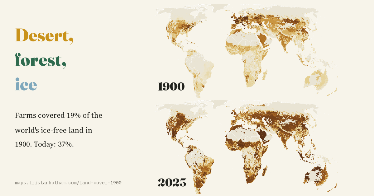
The world's land in 1900 and now: farms covered 19% of the ice-free land in 1900 and cover 37% today. Where the new fields came from, and where trees came back.
This is an interactive data study by Dr Tristan Hotham, built from open data. The map runs in your browser: explore it, search for places and switch layers. The write-up explains the method and what the data shows, and the data and code are open for anyone to reuse.
More in Land, sea and sky
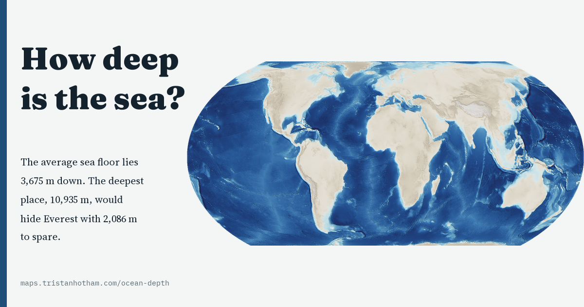 How Deep Is the Sea?The whole ocean floor in depth: the average sea floor lies 3,675 m down, 74% of it is abyssal, and only 28.7% is mapped to modern standards.
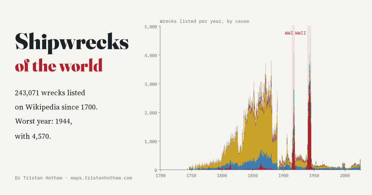 Shipwrecks of the World, and How Many over Time243,071 wrecks listed on Wikipedia since 1700, year by year: three of the five worst years are war years, with 1944 the worst of all.
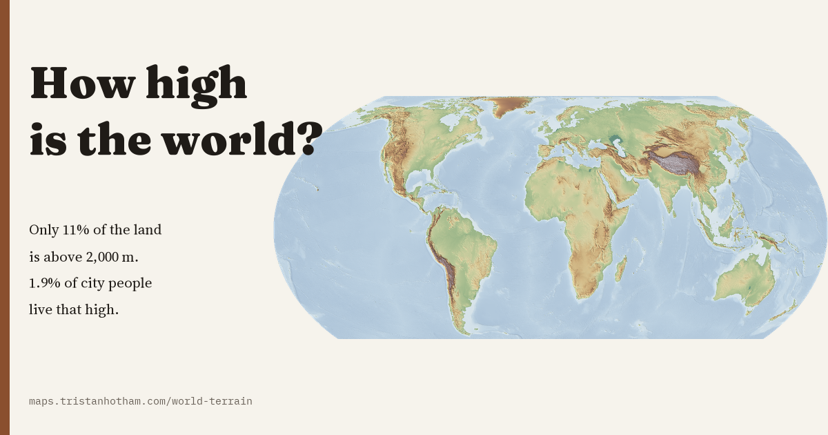 How High Is the World?The height of the whole planet on one map: the land averages 807 m, only 11% of it is above 2,000 m, and only 1.9% of city dwellers live that high.
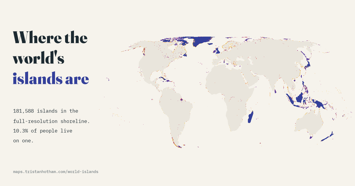 Where the World's Islands Are181,588 islands in a detailed open shoreline map, 23,150 over a square kilometre. Canada has the most, and 10.3% of the world's people live on one.
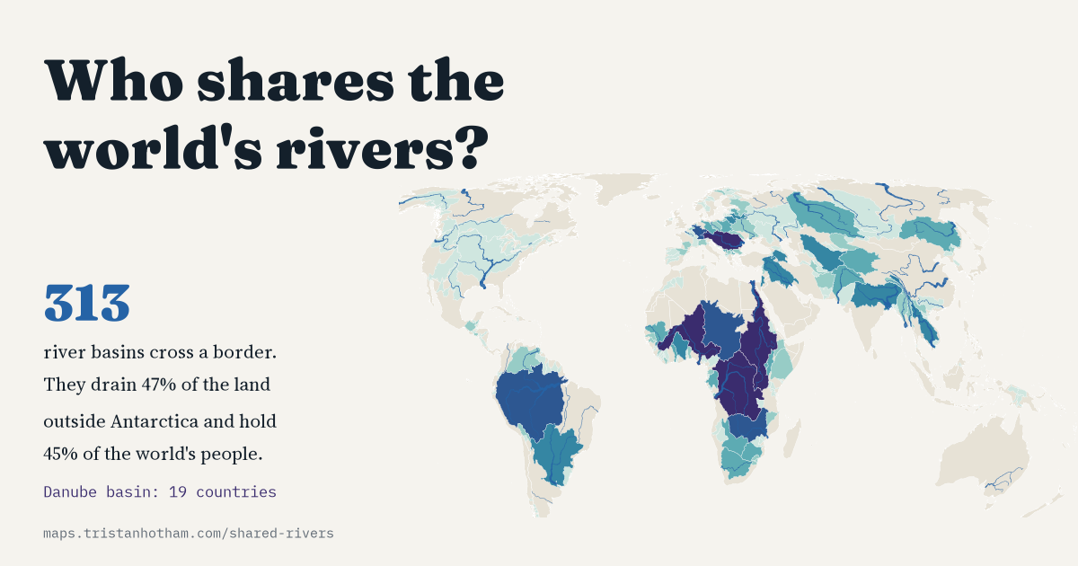 Who Shares the World's Rivers?313 river basins cross a border, draining 47% of the land outside Antarctica and holding 45% of the world's people. Plus the great rivers measured on one map.
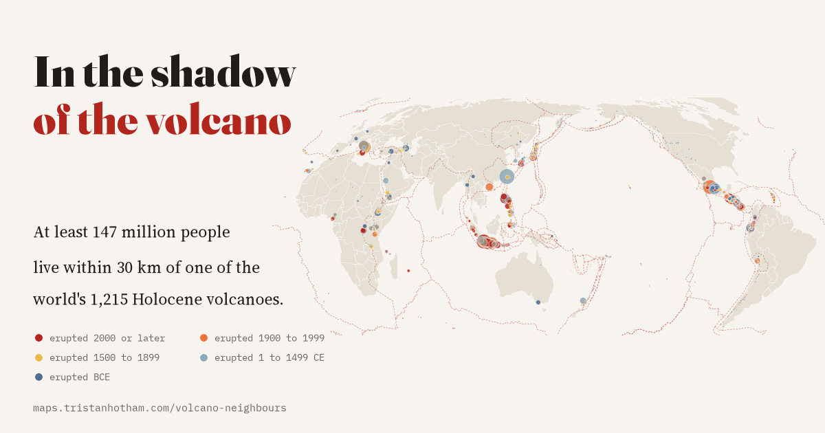 In the Shadow of the VolcanoAll 1,215 Holocene volcanoes and their neighbours: at least 147 million people live within 30 km of one, and 76 volcanoes have a million or more.