Home / Data stories / Land, sea and sky
Land, sea and sky
A Lidar Map of the World
Fifteen national lidar surveys in one zoomable map: the ground with the trees and buildings taken away. Hillforts in forests, the craters of Verdun and Messines, Roman gold mines and Japan's largest burial mound.
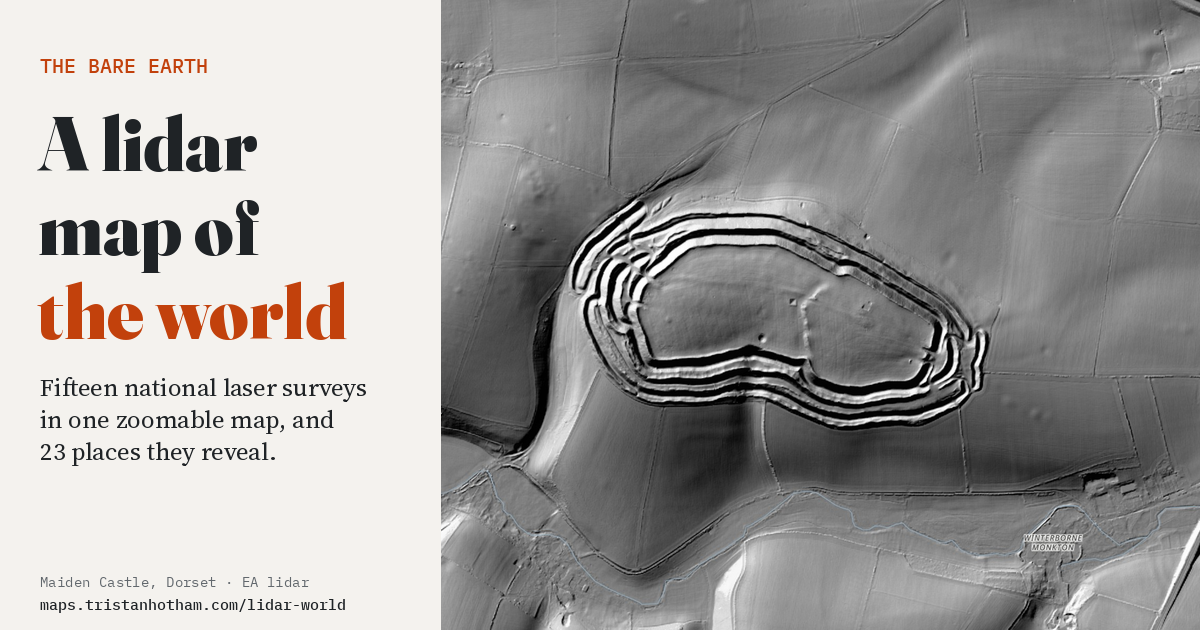
This is an interactive data study by Dr Tristan Hotham, built from open data. The map runs in your browser: explore it, search for places and switch layers. The write-up explains the method and what the data shows, and the data and code are open for anyone to reuse.
More in Land, sea and sky
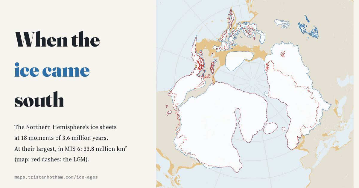 When the Ice Came SouthThe Northern Hemisphere's ice sheets at 18 moments of the last 3.6 million years. The last ice age was only the fourth largest.
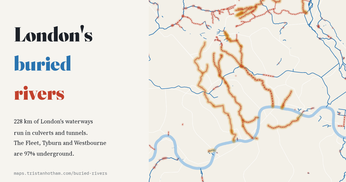 London's Buried RiversWhat still flows in the open and what runs in the dark: the Tyburn, Westbourne and Fleet are almost wholly underground.
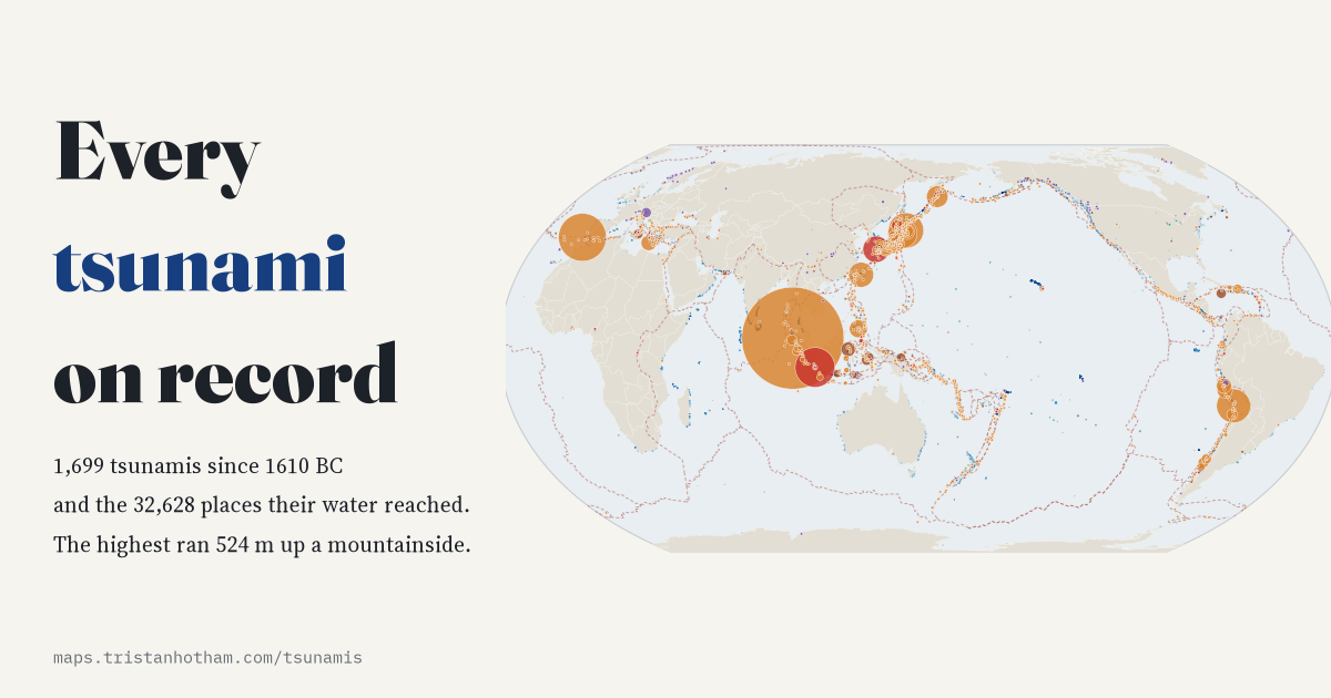 Every Tsunami on RecordEvery recorded tsunami since 1610 BC and the places its water reached: most start with an earthquake, the highest ran 524 m uphill.
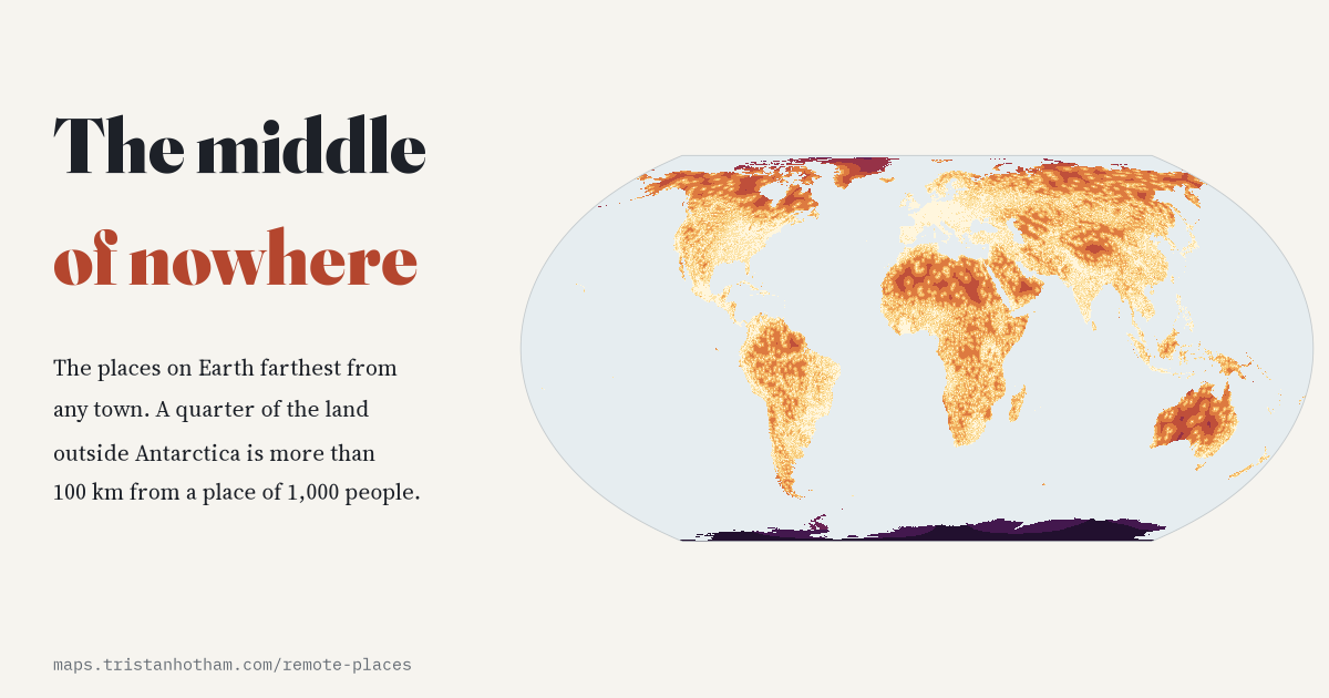 The Middle of NowhereHow far every point on land is from the nearest town: a quarter of the land outside Antarctica is more than 100 km from one.
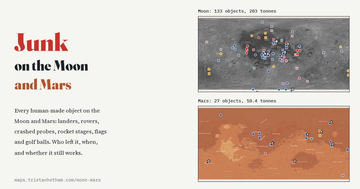 Junk on the Moon and MarsEvery human-made object on two worlds: 133 on the Moon and 27 on Mars, from landers and rovers to golf balls.
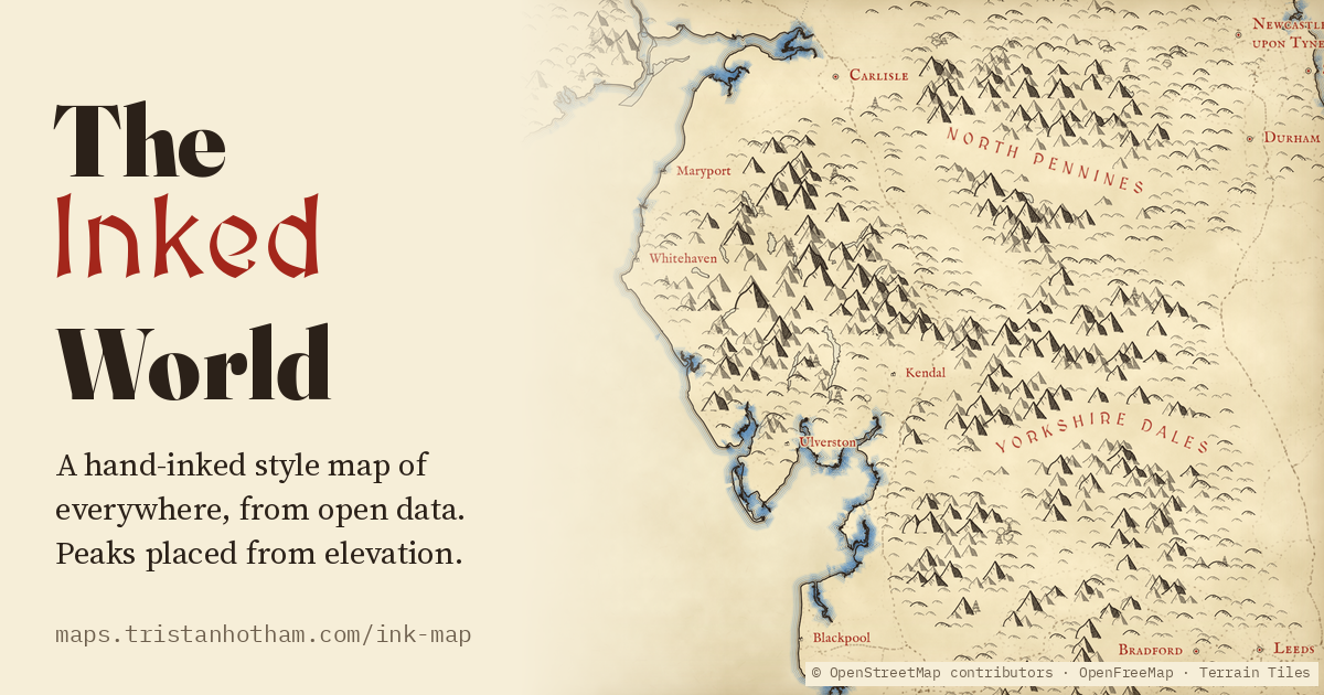 A Tolkien-Style Map of the Whole WorldThe whole Earth drawn like a hand-inked fantasy map: peaks only on real high ground, dunes for deserts, castles, town walls and great landmarks in pictures, rivers and beaches named in blue, and towns of tiny red and blue roofed houses packed tightest at the centre.