Home / Data stories / Land, sea and sky
Land, sea and sky
Signature Species
60.9 million open wildlife records sorted into 118 vice counties, to find the species each one records far more often than the rest of Britain and Northern Ireland.
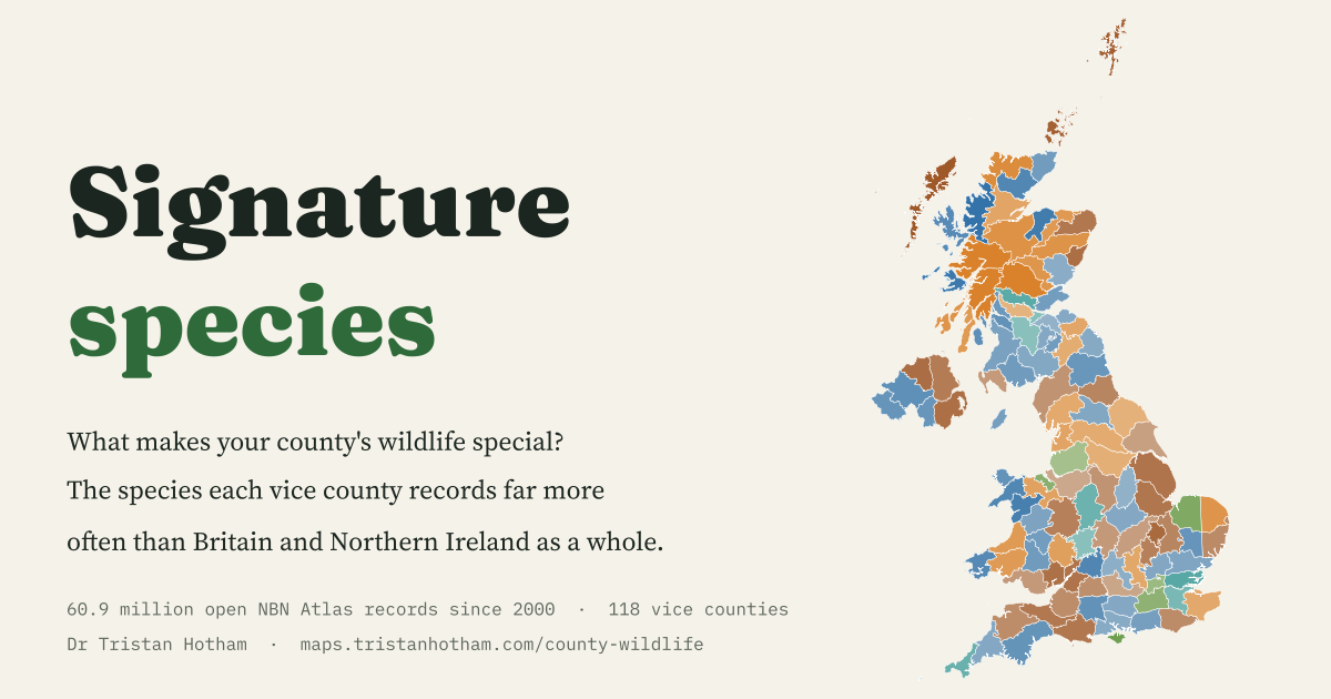
This is an interactive data study by Dr Tristan Hotham, built from open data. The map runs in your browser: explore it, search for places and switch layers. The write-up explains the method and what the data shows, and the data and code are open for anyone to reuse.
More in Land, sea and sky
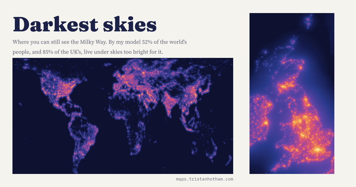 Darkest SkiesThe glow of the world's lights modelled from satellite images and checked against 6,653 sky meter readings: 52% of people, and 85% in the UK, cannot see the Milky Way from home.
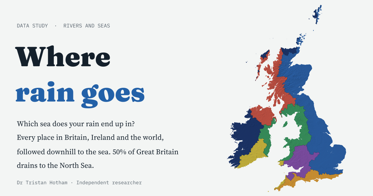 Where Rain GoesEvery place in Britain, Ireland and the world followed downhill to the sea: 50% of Great Britain drains to the North Sea, and 24% of the world's land never reaches the sea at all.
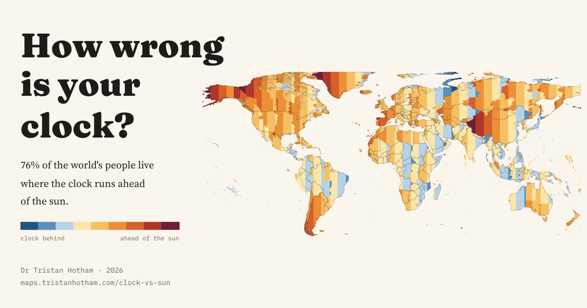 How Wrong Is Your Clock?For 76% of the world's people the clock runs ahead of the sun: the gap everywhere, and why winter mornings in Galicia stay dark until after nine.
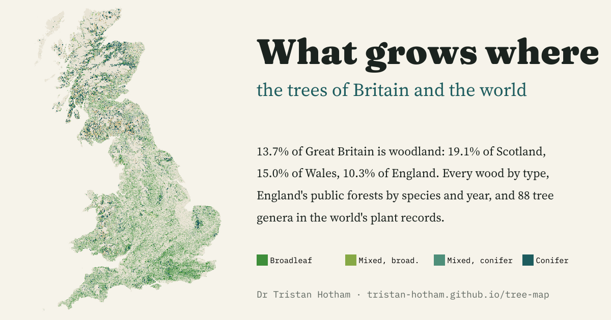 What Grows WhereEvery wood in Great Britain by type, England's public forests by species and planting year, and 88 tree genera worldwide: woodland covers 13.7% of Great Britain, 19.1% of Scotland but 10.3% of England.
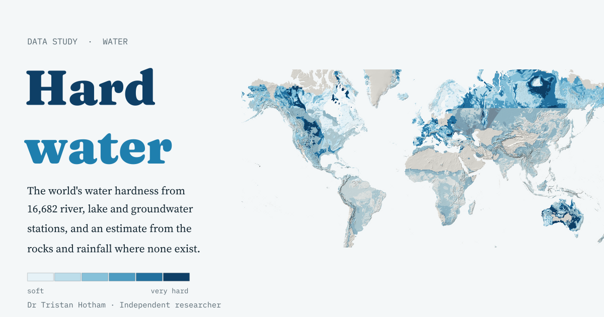 Hard WaterWater hardness from 16,682 river, lake and groundwater stations, and a simple model that guesses it from the rocks: Scandinavia's median is 14 mg/l, the Yucatán's 514.
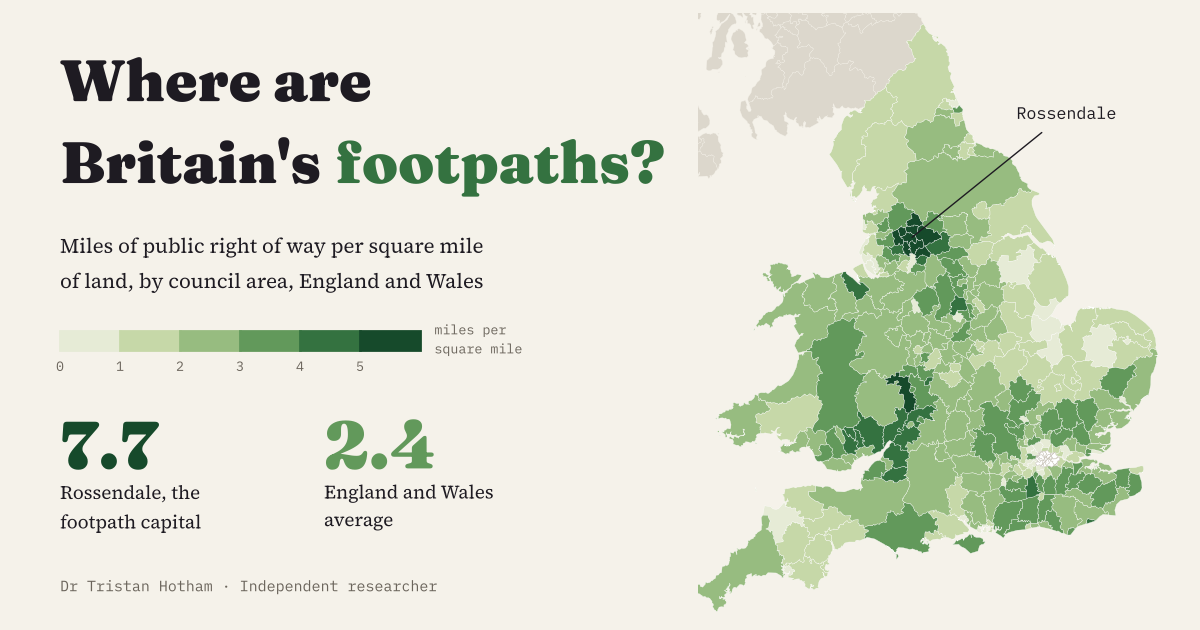 The Footpath CapitalEvery council in England and Wales by miles of public footpath per square mile: Rossendale tops it at 7.7, and the South Pennine mill towns fill the top ten.