Home / Data stories / Romans to Tudors
Romans to Tudors
Is Domesday Destiny?
Does a place's size in 1086 still predict its size today? 13,000 Domesday places on one map.
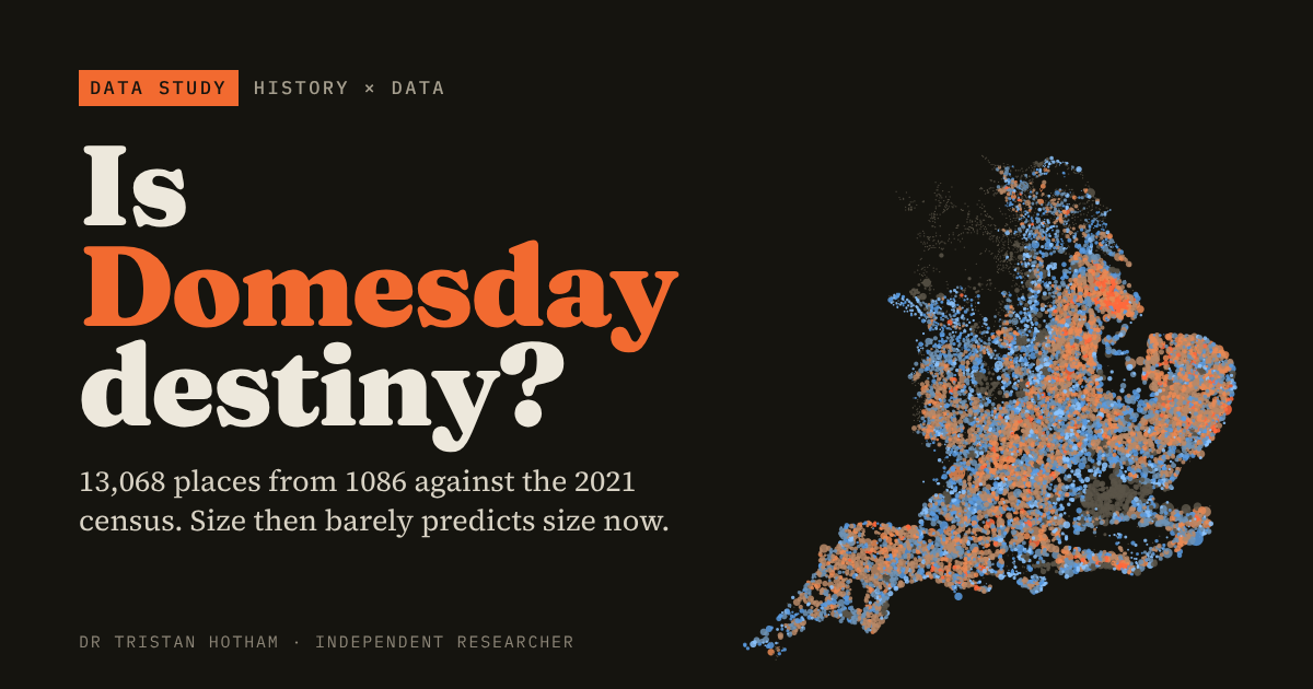
This is an interactive data study by Dr Tristan Hotham, built from open data. The map runs in your browser: explore it, search for places and switch layers. The write-up explains the method and what the data shows, and the data and code are open for anyone to reuse.
More in Romans to Tudors
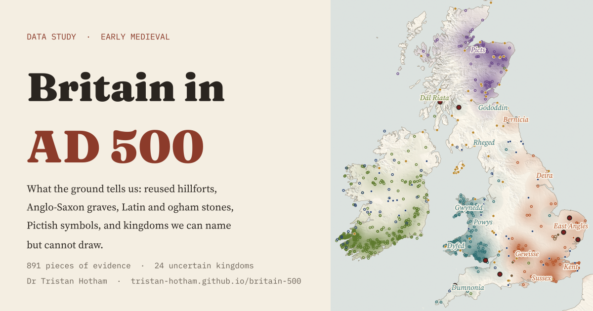 Britain in AD 500What the ground can place instead of neat kingdoms: 891 pieces of evidence, a sharp east of graves and west of stones, and 24 kingdoms we can name but not draw.
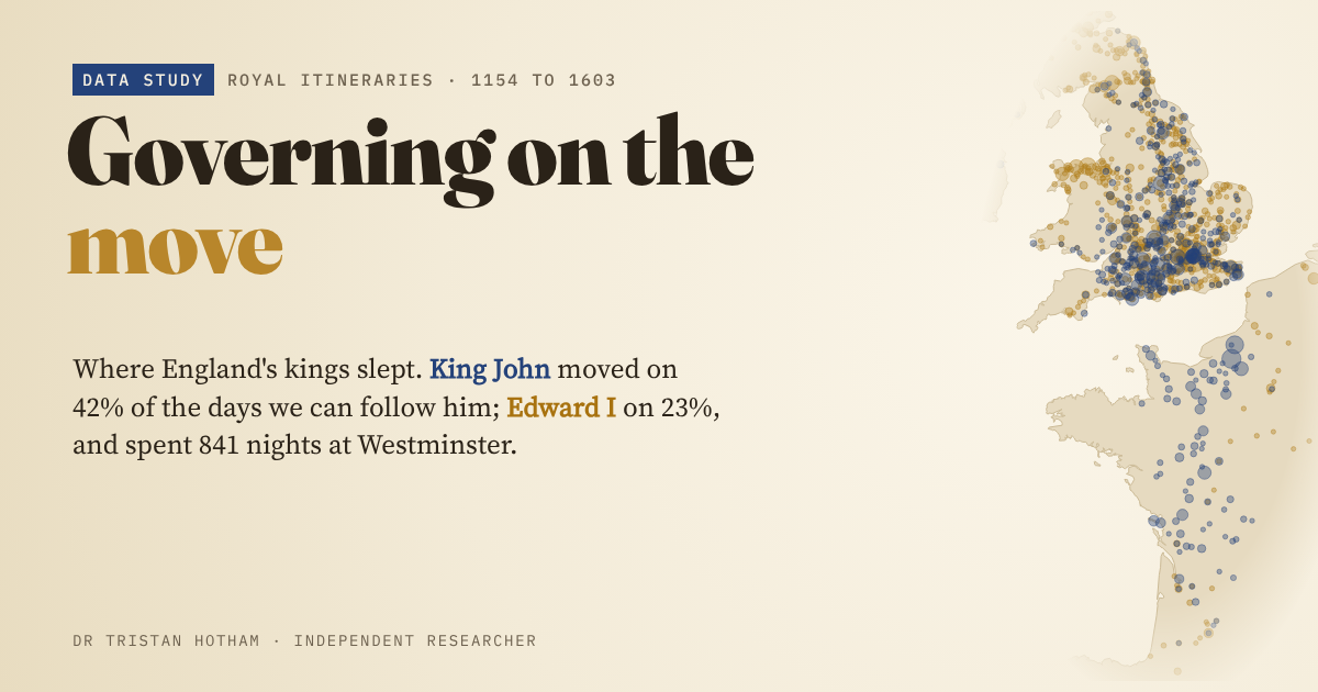 Governing on the MoveKing John and Edward I mapped night by night: John moved on 42% of the days we can follow him, Edward on 23%.
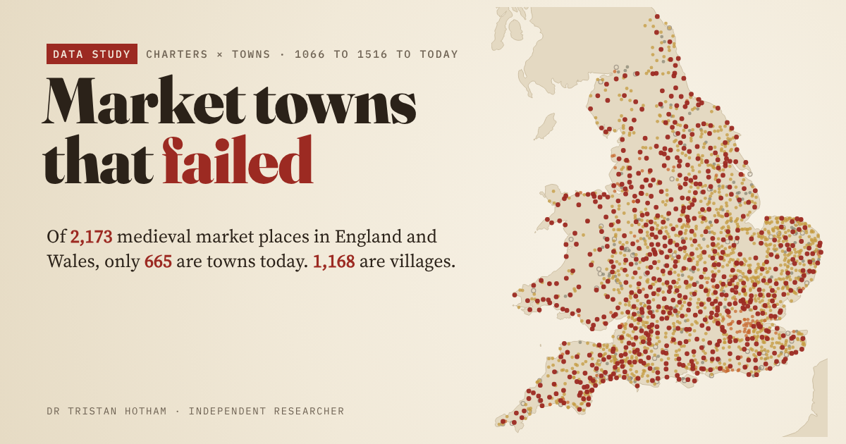 Market Towns That FailedAll 2,173 medieval market places in England and Wales, followed to today: 665 are towns, 1,168 villages, and a few are fields or sea.
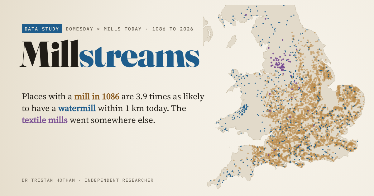 From Domesday Mills to Modern Mills6,172 mills in Domesday Book: places that had one are 3.9 times as likely to have a watermill nearby today, but not a windmill.
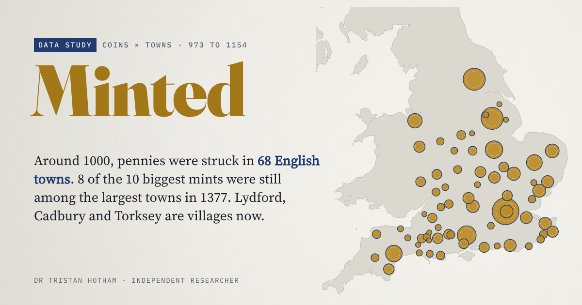 MintedEngland's Anglo-Saxon and Norman mint towns from 70,995 coins: were they still the big towns in 1377, 1801 and today?
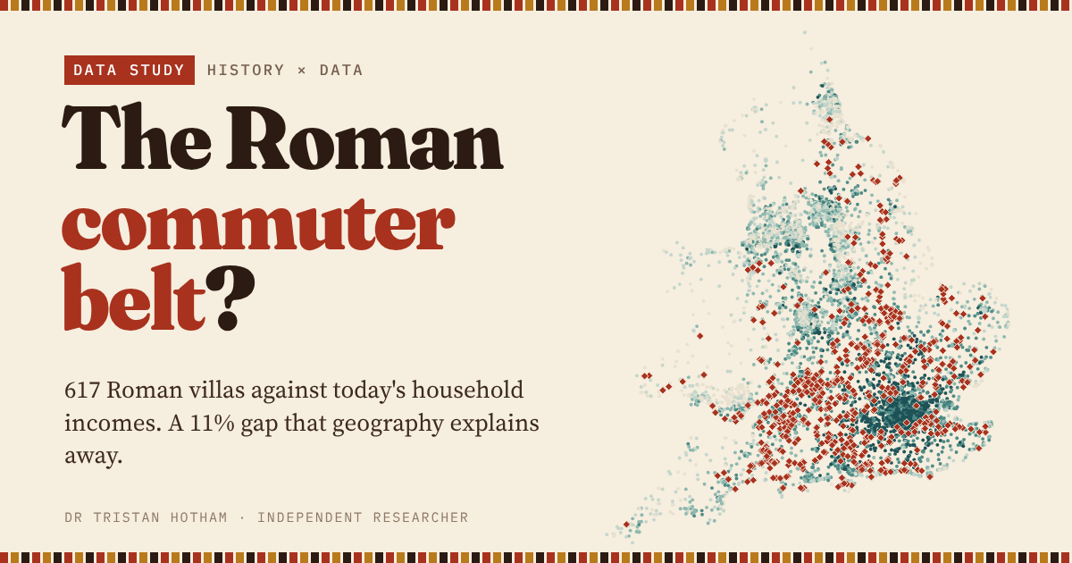 The Roman Commuter Belt?617 Roman villas against today's household income: a premium that is almost all geography.